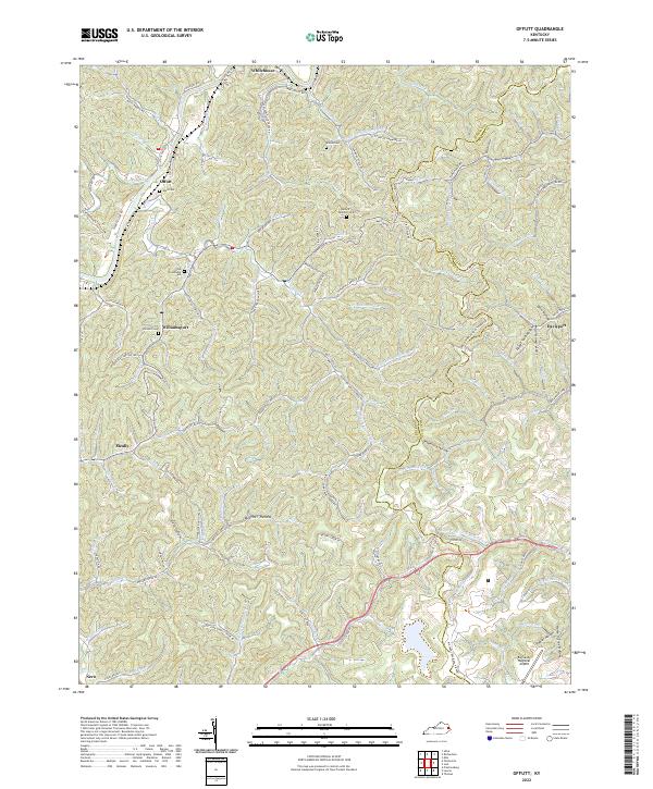
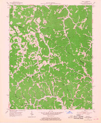
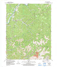
2022 Map of Offutt
USGS Topo · Published 2022This historical map portrays the area of Offutt in 2022, primarily covering Johnson County as well as portions of Floyd County and Martin County. Featuring a scale of 1:24000, this map provides a highly detailed snapshot of the terrain, roads, buildings, counties, and historical landmarks in the Offutt region at the time. Published in 2022, it is the sole known edition of this map.
Map Details
Editions of this 2022 Offutt Map
This is the sole edition of this map. No revisions or reprints were ever made.
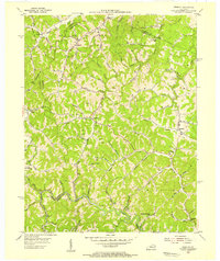
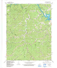
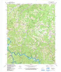
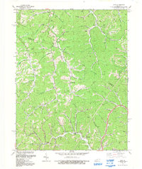
Historical Maps of Butcher Hollow Through Time
15 maps found
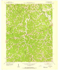
1954 Offutt
Johnson County, KY
1954 Oil Springs
Johnson County, KY
1954 Redbush
Johnson County, KY
1954 Sitka
Johnson County, KY
1962 Oil Springs
Johnson County, KY
1962 Redbush
Johnson County, KY
1971 Sitka
Johnson County, KY
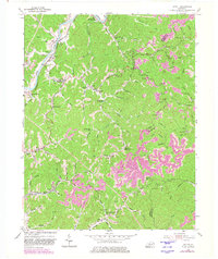
1992 Offutt
Johnson County, KY
1992 Oil Springs
Johnson County, KY
1992 Redbush
Johnson County, KY
1992 Sitka
Johnson County, KY
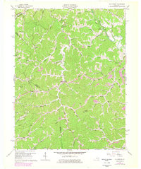
2022 Offutt
Johnson County, KY
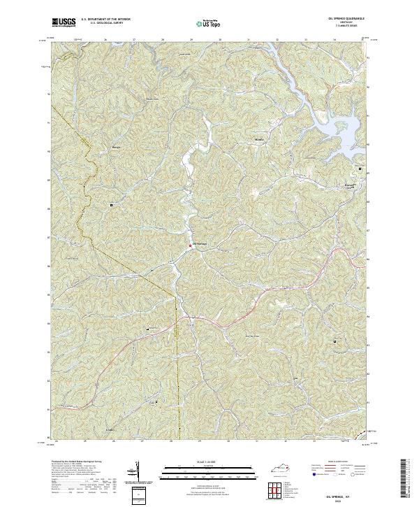
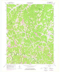
2022 Oil Springs
Johnson County, KY
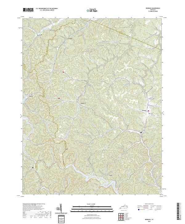
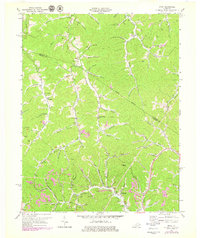
2022 Redbush
Johnson County, KY
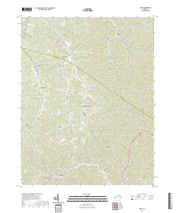
2022 Sitka
Johnson County, KY