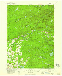
1954 Map of Ohio
USGS Topo · Published 1954About this map
West Canada Creek and its many tributaries carve through this interior portion of Adirondack Park, where the landscape is defined by a dense network of water bodies and high points. The settlements of Nobleboro, Ohio, and Wilmurt Corners anchor the small pockets of habitation amidst the peaks of Fort Noble Mtn and McCauley Mtn. Local infrastructure in the mid-1950s remained concentrated in the south, where State Road and Hurricane Road connect rural districts.
Find a feature on this map
118 named features on this map. Tap any name to fly to it.
Don’t see what you’re looking for? This feature index may not catch every label — zoom into the map to look around manually.
Map Details
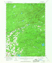
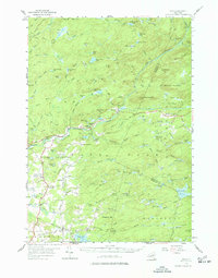
Editions of this 1954 Ohio Map
4 editions found
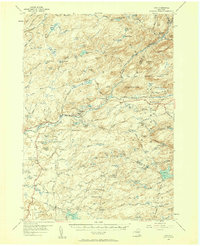
Other maps of this area

1897 · Remsen
USGS Topo · 1:62,500

1898 · Utica
USGS Topo · 1:62,500

1900 · Little Falls
USGS Topo · 1:62,500

1900 · Utica
USGS Topo · 1:62,500

1900 · Remsen
USGS Topo · 1:62,500

1900 · Canada Lake
USGS Topo · 1:62,500

1900 · Wilmurt
USGS Topo · 1:62,500

1901 · Old Forge
USGS Topo · 1:62,500

1901 · Lassellsville
USGS Topo · 1:62,500

1902 · Wilmurt
USGS Topo · 1:62,500