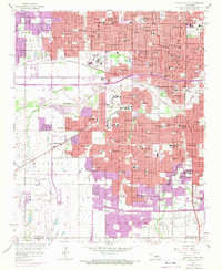
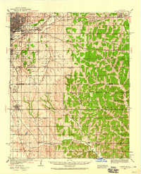
1956 Map of Oklahoma City
USGS Topo · Published 1970About this map
Oklahoma City is depicted here at a period of intense post-war expansion, centered on the complex urban corridor between the North Canadian River and the State Capitol. The landscape is a dense network of civic and religious infrastructure, featuring prominent medical centers like St Anthony Hospital and educational landmarks such as Oklahoma City University. The city's industrial and logistical roots are visible in the National Stockyards and the convergence of the Chicago Rock Island and Pacific RR with the St Louis San Francisco RR.
Find a feature on this map
97 named features on this map. Tap any name to fly to it.
Don’t see what you’re looking for? This feature index may not catch every label — zoom into the map to look around manually.
Map Details
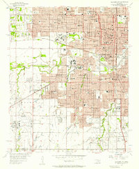
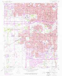
Editions of this 1956 Oklahoma City Map
3 editions found
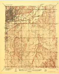
Other maps of this area

1892 · Moore
USGS Topo · 1:62,500

1892 · Edmond
USGS Topo · 1:62,500

1892 · Kingfisher
USGS Topo · 1:125,000

1893 · Oklahoma City
USGS Topo · 1:62,500

1895 · Kingfisher
USGS Topo · 1:125,000

1898 · Purcell
USGS Topo · 1:125,000

1904 · Chickasha
USGS Topo · 1:125,000
1934 · Crutcho Creek
USGS Topo · 1:24,000
1934 · Moore
USGS Topo · 1:62,500
1935 · Spencer
USGS Topo · 1:24,000