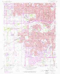
1956 Map of Oklahoma City
USGS Topo · Published 1976About this map
The North Canadian River winds through the heart of the state capital, serving as a geographic anchor for a period of rapid mid-century expansion. This survey captures a dense grid of civic and religious institutions, ranging from the Oklahoma City University campus in the north to the St Anthony Hospital and Municipal Auditorium in the downtown core. The landscape is heavily influenced by the presence of the Chicago Rock Island and Pacific and St Louis San Francisco railroads, which once dictated the industrial and commercial flow of the city. While the core areas are established with landmarks like Fairlawn Cemetery, purple map revisions show the accelerating growth of suburban residential areas and the development of the Southwest Expressway and Stanley Draper Expressway. The map also details numerous neighborhood landmarks, including the State Fairground and a comprehensive network of local schools like Northwest Classen High Sch and Central High Sch.
Find a feature on this map
103 named features on this map. Tap any name to fly to it.
Don’t see what you’re looking for? This feature index may not catch every label — zoom into the map to look around manually.
Map Details
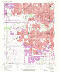
Editions of this 1956 Oklahoma City Map
3 editions found

Other maps of this area

1892 · Moore
USGS Topo · 1:62,500

1892 · Edmond
USGS Topo · 1:62,500

1892 · Kingfisher
USGS Topo · 1:125,000

1893 · Oklahoma City
USGS Topo · 1:62,500

1895 · Kingfisher
USGS Topo · 1:125,000

1898 · Purcell
USGS Topo · 1:125,000

1904 · Chickasha
USGS Topo · 1:125,000

1934 · Crutcho Creek
USGS Topo · 1:24,000

1934 · Moore
USGS Topo · 1:62,500

1935 · Spencer
USGS Topo · 1:24,000