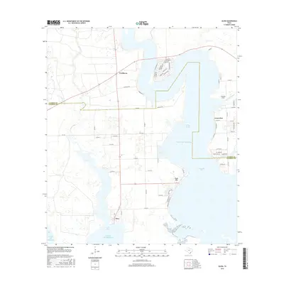
2016 Map of Olivia
USGS Topo · Published 2016About this map
Carancahua Bay and Keller Bay define this coastal landscape on the edge of the Gulf of Mexico. The settlement of Olivia sits at the southern tip of the peninsula, where the waters of the two bays meet near Cox Bay. This coastal region is marked by a network of rural roads and residential clusters, including Port Alto and Weedhaven. Northward, the landscape transitions into the drainage of Keller Creek and the tidal reaches of Fivemile Branch. The geography reveals a distinct coastal pattern where local life is oriented toward the water, visible in the layout of streets like Marshall Johnson Ave in Port Alto and the residential drives of Weedhaven. Along the eastern shore of the bay, the settlement of Carancahua is situated near Santo Domingo Springs, illustrating the historical importance of freshwater sources in this maritime environment.
Find a feature on this map
67 named features on this map. Tap any name to fly to it.
Don’t see what you’re looking for? This feature index may not catch every label — zoom into the map to look around manually.
Map Details
Editions of this 2016 Olivia Map
This is the sole edition of this map. No revisions or reprints were ever made.
Other maps of this area
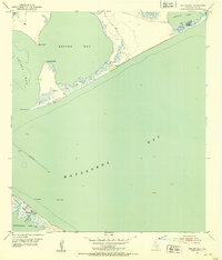
1951 · Keller Bay
USGS Topo · 1:24,000
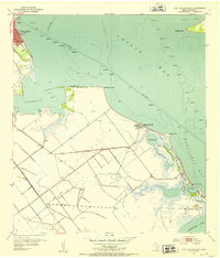
1952 · Port Lavaca East
USGS Topo · 1:24,000
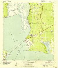
1952 · Point Comfort
USGS Topo · 1:24,000
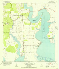
1952 · Olivia
USGS Topo · 1:24,000
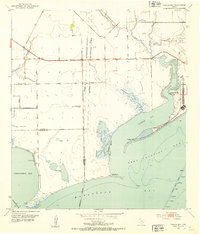
1952 · Turtle Bay
USGS Topo · 1:24,000
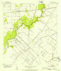
1952 · Francitas
USGS Topo · 1:24,000
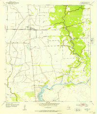
1952 · La Ward
USGS Topo · 1:24,000
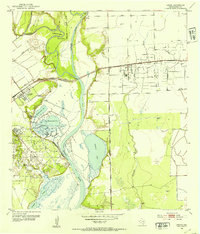
1952 · Lolita
USGS Topo · 1:24,000

1953 · Beeville
USGS Topo · 1:250,000

1956 · Beeville
USGS Topo · 1:250,000