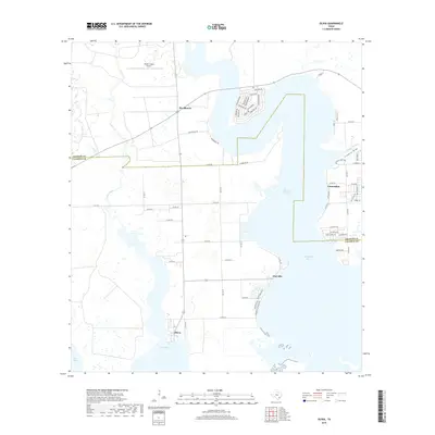
2019 Map of Olivia
USGS Topo · Published 2019About this map
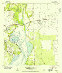
Carancahua Bay and Keller Bay dominate this coastal landscape on the Jackson and Calhoun County line, where the Texas shoreline is defined by shallow inlets and maritime settlements. Small communities like Olivia and Port Alto anchor the southern reaches of the map, connected by a network of rural roads that cross low-lying wetlands. The interior is marked by drainage systems such as Fivemile Draw and Keller Creek, which feed into the larger bay systems.
Find a feature on this map
70 named features on this map. Tap any name to fly to it.
Don’t see what you’re looking for? This feature index may not catch every label — zoom into the map to look around manually.
Map Details
Editions of this 2019 Olivia Map
This is the sole edition of this map. No revisions or reprints were ever made.
Other maps of this area
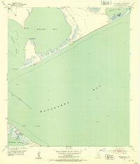
1951 · Keller Bay
USGS Topo · 1:24,000
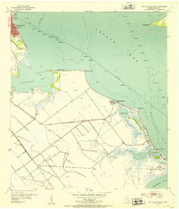
1952 · Port Lavaca East
USGS Topo · 1:24,000
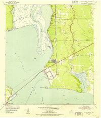
1952 · Point Comfort
USGS Topo · 1:24,000
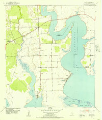
1952 · Olivia
USGS Topo · 1:24,000
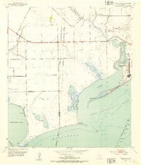
1952 · Turtle Bay
USGS Topo · 1:24,000
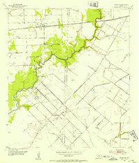
1952 · Francitas
USGS Topo · 1:24,000
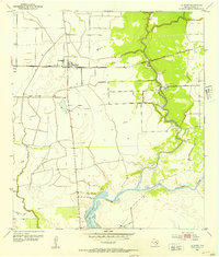
1952 · La Ward
USGS Topo · 1:24,000
1952 · Lolita
USGS Topo · 1:24,000

1953 · Beeville
USGS Topo · 1:250,000

1956 · Beeville
USGS Topo · 1:250,000