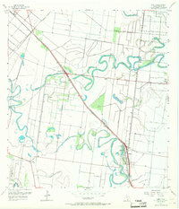
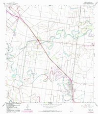
1956 Map of Olmito
USGS Topo · Published 1957About this map
The winding ancient oxbows of the Rio Grande dominate this Cameron County landscape, defining the layout of mid-century irrigation and transport. These abandoned river channels, known locally as resacas, include the prominent Resaca de los Cuates and Resaca del Rancho Viejo. The settlement pattern follows the high ground between these waterways, with the town of Olmito and the smaller Russeltown serving as hubs for the surrounding agricultural tracts. The Missouri Pacific railroad cuts a diagonal line across the quadrangle, passing through Villa Cavazos and providing the vital link for moving produce out of the valley.
Find a feature on this map
22 named features on this map. Tap any name to fly to it.
Don’t see what you’re looking for? This feature index may not catch every label — zoom into the map to look around manually.
Map Details
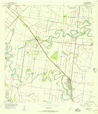
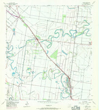
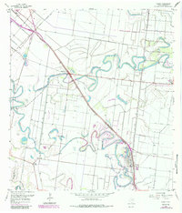
Editions of this 1956 Olmito Map
5 editions found
Other maps of this area
1929 · Rio Hondo
USGS Topo · 1:24,000
1929 · Harlingen
USGS Topo · 1:24,000
1929 · La Paloma
USGS Topo · 1:24,000
1930 · Los Fresnos
USGS Topo · 1:24,000
1930 · West Brownsville
USGS Topo · 1:24,000
1930 · Barreda
USGS Topo · 1:24,000
1930 · Laguna Atascosa
USGS Topo · 1:24,000
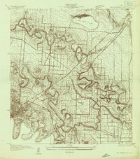
1930 · East Brownsville
USGS Topo · 1:24,000
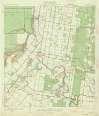
1932 · Rio Hondo
USGS Topo · 1:31,680
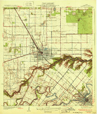
1932 · Harlingen
USGS Topo · 1:31,680