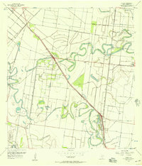
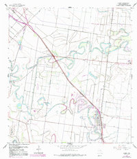
1956 Map of Olmito
USGS Topo · Published 1967About this map
Resaca de los Cuates and Resaca del Rancho Viejo wind through this Cameron County landscape, marking the ancient, meandering courses of the Rio Grande. These oxbow channels define the settlement patterns of the mid-1950s, with towns like Olmito and Russelltown established alongside the Missouri Pacific railroad corridor. The area’s agricultural transformation is evident in the intricate network of water management, including the Main Supply Canal and various elevated ditches that support the local ranching and farming economy.
Find a feature on this map
30 named features on this map. Tap any name to fly to it.
Don’t see what you’re looking for? This feature index may not catch every label — zoom into the map to look around manually.
Map Details
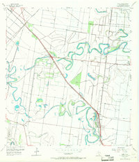
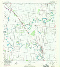
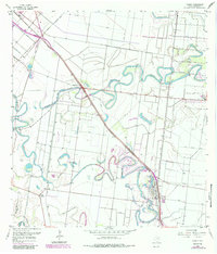
Editions of this 1956 Olmito Map
5 editions found
Other maps of this area

1929 · Rio Hondo
USGS Topo · 1:24,000

1929 · Harlingen
USGS Topo · 1:24,000

1929 · La Paloma
USGS Topo · 1:24,000

1930 · Los Fresnos
USGS Topo · 1:24,000

1930 · West Brownsville
USGS Topo · 1:24,000

1930 · Barreda
USGS Topo · 1:24,000

1930 · Laguna Atascosa
USGS Topo · 1:24,000

1930 · East Brownsville
USGS Topo · 1:24,000

1932 · Rio Hondo
USGS Topo · 1:31,680

1932 · Harlingen
USGS Topo · 1:31,680