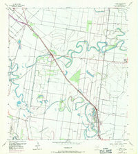
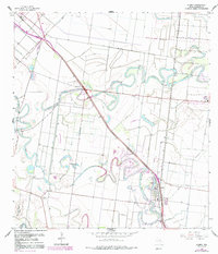
1956 Map of Olmito
USGS Topo · Published 1971About this map
Meandering resacas and a complex irrigation network define this South Texas landscape during the mid-twentieth century. The Missouri Pacific Railroad cuts a diagonal path through the terrain, anchoring the small settlement of Olmito and providing a transport spine for the local agricultural economy. The natural hydrology of ancient river channels is visible in the winding curves of Resaca de los Cuates, Resaca del Jardin, and Resaca del Rancho Viejo.
Find a feature on this map
37 named features on this map. Tap any name to fly to it.
Don’t see what you’re looking for? This feature index may not catch every label — zoom into the map to look around manually.
Map Details
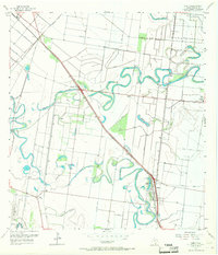
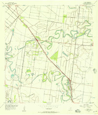
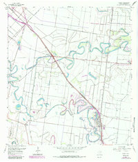
Editions of this 1956 Olmito Map
5 editions found
Other maps of this area

1929 · Rio Hondo
USGS Topo · 1:24,000

1929 · Harlingen
USGS Topo · 1:24,000

1929 · La Paloma
USGS Topo · 1:24,000

1930 · Los Fresnos
USGS Topo · 1:24,000

1930 · West Brownsville
USGS Topo · 1:24,000

1930 · Barreda
USGS Topo · 1:24,000

1930 · Laguna Atascosa
USGS Topo · 1:24,000

1930 · East Brownsville
USGS Topo · 1:24,000

1932 · Rio Hondo
USGS Topo · 1:31,680

1932 · Harlingen
USGS Topo · 1:31,680