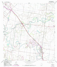
1956 Map of Olmito
USGS Topo · Published 1991About this map
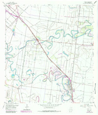
Meandering resacas and intricate irrigation systems define this landscape in Cameron County, where ancient distributary channels of the Rio Grande have been integrated into a complex agricultural network. The settlement of Olmito serves as a local hub near the southern edge, while smaller communities like Russelltown and Villa Cavazos are linked by a grid of roads and elevated ditches. The hydrology of the region is striking, featuring the winding Resaca de los Cuates, Resaca del Jardin, and Resaca de la Palma, which provide vital water storage in an otherwise arid environment. Evidence of large-scale water management is visible through features such as the Main Supply Canal and various spoil banks. This 1956 survey, with updates from the early 1980s, captures the transition of traditional ranch lands, like Wardner Ranch, into more intensive farming and managed drainage systems.
Find a feature on this map
29 named features on this map. Tap any name to fly to it.
Don’t see what you’re looking for? This feature index may not catch every label — zoom into the map to look around manually.
Map Details
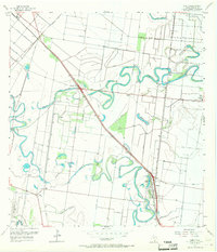
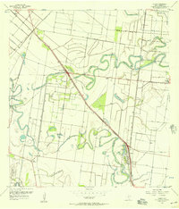
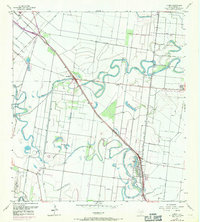
Editions of this 1956 Olmito Map
5 editions found
Other maps of this area

1929 · Rio Hondo
USGS Topo · 1:24,000

1929 · Harlingen
USGS Topo · 1:24,000

1929 · La Paloma
USGS Topo · 1:24,000

1930 · Los Fresnos
USGS Topo · 1:24,000

1930 · West Brownsville
USGS Topo · 1:24,000

1930 · Barreda
USGS Topo · 1:24,000

1930 · Laguna Atascosa
USGS Topo · 1:24,000

1930 · East Brownsville
USGS Topo · 1:24,000

1932 · Rio Hondo
USGS Topo · 1:31,680

1932 · Harlingen
USGS Topo · 1:31,680