
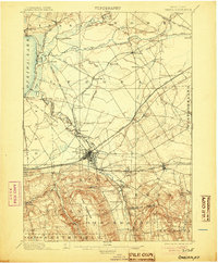
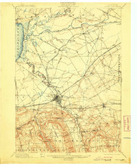
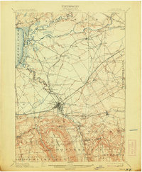
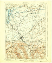
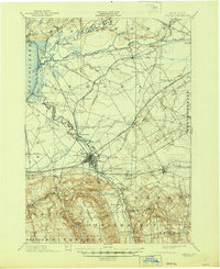
1902 Map of Oneida
USGS Topo · Published 1902About this map
The Oneida Community and its neighboring settlement of Kenwood anchor the southern landscape of this 1902 survey, illustrating the unique social and industrial footprint of the former utopian society. To the north, the intricate canal history of the region is visible through the alignment of the Erie Canal, the Old Oneida Lake Canal, and the New Oneida Lake Canal (Abandoned), documenting the evolution of New York's waterway transport system.
Find a feature on this map
76 named features on this map. Tap any name to fly to it.
Don’t see what you’re looking for? This feature index may not catch every label — zoom into the map to look around manually.
Map Details
Editions of this 1902 Oneida Map
6 editions found
Other maps of this area

1895 · Chittenango
USGS Topo · 1:62,500

1895 · Oriskany
USGS Topo · 1:62,500

1895 · Oneida
USGS Topo · 1:62,500

1897 · Cazenovia
USGS Topo · 1:62,500

1898 · Oneida
USGS Topo · 1:62,500

1898 · Chittenango
USGS Topo · 1:62,500

1898 · Oriskany
USGS Topo · 1:62,500

1899 · Cazenovia
USGS Topo · 1:62,500

1902 · Chittenango
USGS Topo · 1:62,500

1902 · Morrisville
USGS Topo · 1:62,500