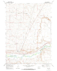
1969 Map of Opal
USGS Topo · Published 1972About this map
Opal serves as the focal point for this high-desert landscape in southwestern Wyoming, where the Union Pacific railroad parallels the winding course of the Hams Fork river. The late 1960s terrain is marked by a network of industrial and agricultural infrastructure, including several irrigation channels like Anderson Ditch, Roberson Ditch, and South Side Ditch that draw from the river. Transportation and energy are central to the area's layout, with the Opal Cutoff and multiple pipelines traversing the plains toward the elevated Opal Bench.
Find a feature on this map
20 named features on this map. Tap any name to fly to it.
Don’t see what you’re looking for? This feature index may not catch every label — zoom into the map to look around manually.
Map Details
Editions of this 1969 Opal Map
2 editions found
Other maps of this area

1954 · Ogden
USGS Topo · 1:250,000

1958 · Ogden
USGS Topo · 1:250,000

1960 · Ogden
USGS Topo · 1:250,000

1969 · Church Butte NW
USGS Topo · 1:24,000

1969 · Willow Springs
USGS Topo · 1:24,000

1969 · Roberson Creek
USGS Topo · 1:24,000
1969 · Shute Creek Lake
USGS Topo · 1:24,000
1969 · Round Mountain
USGS Topo · 1:24,000
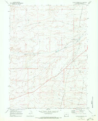
1969 · Graham Reservoir
USGS Topo · 1:24,000
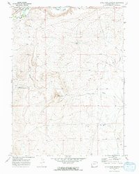
1969 · Little Round Mountain
USGS Topo · 1:24,000