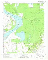
1972 Map of Open Lake
USGS Topo · Published 1975About this map
Mississippi River hydraulics dominate this 1970s landscape, where the shifting border between Tennessee and Arkansas is defined by the Indefinite Boundary and the expansive Island No 25. The flood-prone bottomlands are largely preserved within the Anderson-Tully State Wildlife Management Area, a complex network of sloughs and inlets including Rush Slough, Camp Slough, and the massive Open Lake.
Find a feature on this map
32 named features on this map. Tap any name to fly to it.
Don’t see what you’re looking for? This feature index may not catch every label — zoom into the map to look around manually.
Map Details
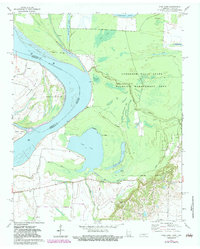
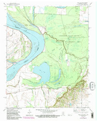
Editions of this 1972 Open Lake Map
3 editions found
Other maps of this area

1939 · Hales Point
USGS Topo · 1:62,500

1939 · Blytheville
USGS Topo · 1:62,500

1952 · Hales Point
USGS Topo · 1:62,500

1955 · Blytheville
USGS Topo · 1:62,500

1956 · Blytheville
USGS Topo · 1:250,000

1959 · Blytheville
USGS Topo · 1:250,000

1961 · Hales Point
USGS Topo · 1:62,500

1961 · Rialto
USGS Topo · 1:62,500

1962 · Rialto
USGS Topo · 1:62,500

1962 · Hales Point
USGS Topo · 1:62,500