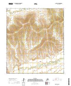
2017 Map of Ophir D-4 NE
USGS Topo · Published 2017About this map
The Tlatl Hills rise above a landscape defined by the winding paths of the Mud River and the Little Mud River in this interior Alaska quadrangle. This 2017 study captures a remote portion of the Yukon-Koyukuk Census Area, where elevation contours reveal a series of ridges and valleys northwest of the riverbeds. The drainages show complex meandering patterns through the lower terrain, illustrating the hydrologic activity typical of the region. Free of developed settlements or road infrastructure, the map serves as a primary record of the topographic character within several townships, including t17s r6e and t18s r7e. It provides a clear view of the natural relief and waterway systems before any modern human encroachment or industrial footprint.
Find a feature on this map
9 named features on this map. Tap any name to fly to it.
Don’t see what you’re looking for? This feature index may not catch every label — zoom into the map to look around manually.
Map Details
Editions of this 2017 Ophir D-4 NE Map
This is the sole edition of this map. No revisions or reprints were ever made.
Other maps of this area

1945 · Nulato
USGS Topo · 1:250,000

1951 · Ophir
USGS Topo · 1:250,000

1951 · Nulato
USGS Topo · 1:250,000

1952 · Nulato A-4
USGS Topo · 1:63,360

1952 · Nulato A-3
USGS Topo · 1:63,360

1952 · Nulato
USGS Topo · 1:250,000
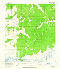
1953 · Nulato A-4
USGS Topo · 1:63,360
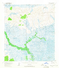
1954 · Ophir D-4
USGS Topo · 1:63,360
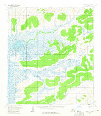
1954 · Ophir D-3
USGS Topo · 1:63,360

1954 · Ophir
USGS Topo · 1:250,000