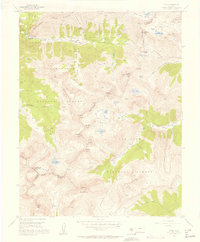
1955 Map of Ophir
USGS Topo · Published 1957About this map
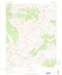
Ophir and the nearby Ophir Loop represent the high-altitude mining and transportation hubs of the San Juan Mountains as they appeared in the mid-1950s. The landscape is marked by an extensive industrial history, with an Old RR Grade winding through the terrain alongside numerous high-country workings like the Gold King Mine, Suffolk Mine, and Silver Bell Mine. Educational foundations are noted at the Ophir Loop Sch, serving the families tied to these remote operations.
Find a feature on this map
52 named features on this map. Tap any name to fly to it.
Don’t see what you’re looking for? This feature index may not catch every label — zoom into the map to look around manually.
Map Details
Editions of this 1955 Ophir Map
7 editions found
Other maps of this area

1897 · Telluride
USGS Topo · 1:62,500

1897 · Silverton
USGS Topo · 1:62,500

1898 · Engineer Mountain
USGS Topo · 1:62,500

1900 · Engineer Mountain
USGS Topo · 1:62,500

1900 · Needle Mountains
USGS Topo · 1:62,500

1901 · Silverton
USGS Topo · 1:62,500

1902 · Needle Mountains
USGS Topo · 1:62,500

1902 · Silverton
USGS Topo · 1:62,500

1904 · Telluride
USGS Topo · 1:62,500

1908 · Engineer Mountain
USGS Topo · 1:62,500