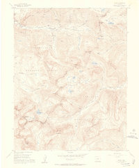
1955 Map of Ophir
USGS Topo · Published 1957About this map
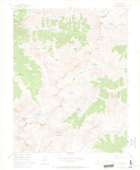
Ophir and its high-altitude mining district are the focal point of this mid-1950s survey of the San Juan Mountains. The landscape is defined by the complex transport networks required for mineral extraction, including the Rio Grande Southern RR and its distinctive Ophir Loop Sch, which navigated the extreme grades of the Howard Fork. Evidence of the region's hard-rock mining legacy is scattered across the peaks, from the Suffolk Mine near Silver Mountain to the Silver Bell Mine tucked beneath the Ophir Needles.
Find a feature on this map
50 named features on this map. Tap any name to fly to it.
Don’t see what you’re looking for? This feature index may not catch every label — zoom into the map to look around manually.
Map Details
Editions of this 1955 Ophir Map
7 editions found
Other maps of this area

1897 · Telluride
USGS Topo · 1:62,500

1897 · Silverton
USGS Topo · 1:62,500

1898 · Engineer Mountain
USGS Topo · 1:62,500

1900 · Engineer Mountain
USGS Topo · 1:62,500

1900 · Needle Mountains
USGS Topo · 1:62,500

1901 · Silverton
USGS Topo · 1:62,500

1902 · Needle Mountains
USGS Topo · 1:62,500

1902 · Silverton
USGS Topo · 1:62,500

1904 · Telluride
USGS Topo · 1:62,500

1908 · Engineer Mountain
USGS Topo · 1:62,500