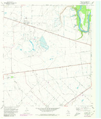
1971 Map of Orchard
USGS Topo · Published 1980About this map
Industrial activity and rural Texas life converge at the Orchard Dome Oil and Gas Field, a prominent landscape feature south of the Orchard townsite. The region is defined by a dense network of energy infrastructure, including numerous gas wells and gravel pits, set against the meandering course of the Brazos River and its tributaries like Sandy Branch and Cottonwood Creek.
Find a feature on this map
33 named features on this map. Tap any name to fly to it.
Don’t see what you’re looking for? This feature index may not catch every label — zoom into the map to look around manually.
Map Details
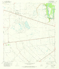
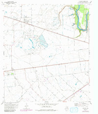
Editions of this 1971 Orchard Map
3 editions found
Other maps of this area

1950 · Houston
USGS Topo · 1:250,000

1953 · Needville
USGS Topo · 1:24,000

1953 · Kendleton
USGS Topo · 1:24,000

1953 · Hungerford
USGS Topo · 1:24,000

1953 · Seguin
USGS Topo · 1:250,000

1955 · Richmond
USGS Topo · 1:62,500

1956 · Wallis
USGS Topo · 1:62,500

1956 · Houston
USGS Topo · 1:250,000

1958 · Seguin
USGS Topo · 1:250,000

1960 · Wallis
USGS Topo · 1:24,000