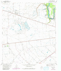
1971 Map of Orchard
USGS Topo · Published 1991About this map
Industrial activity and agriculture define this landscape in eastern Texas, where the Orchard Dome Oil and Gas Field dominates the central terrain with a dense network of wells and pipelines. Near the settlement of Orchard, the presence of Artesian Park and the Orchard Cem provide clear markers for local historians, while an Old Railroad Grade traces a former transportation corridor through the oil fields.
Find a feature on this map
35 named features on this map. Tap any name to fly to it.
Don’t see what you’re looking for? This feature index may not catch every label — zoom into the map to look around manually.
Map Details
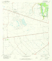
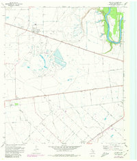
Editions of this 1971 Orchard Map
3 editions found
Other maps of this area

1950 · Houston
USGS Topo · 1:250,000

1953 · Needville
USGS Topo · 1:24,000

1953 · Kendleton
USGS Topo · 1:24,000

1953 · Hungerford
USGS Topo · 1:24,000

1953 · Seguin
USGS Topo · 1:250,000

1955 · Richmond
USGS Topo · 1:62,500

1956 · Wallis
USGS Topo · 1:62,500

1956 · Houston
USGS Topo · 1:250,000

1958 · Seguin
USGS Topo · 1:250,000

1960 · Wallis
USGS Topo · 1:24,000