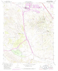
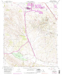
1959 Map of Orcutt
USGS Topo · Published 1984About this map
Orcutt serves as the primary hub in this late-century landscape, characterized by a complex intersection of petroleum extraction and military expansion. The northern reaches of the map are defined by the residential development of Orcutt and its local institutions like Union Sch, while the southern and central terrain is dominated by the industrial footprint of the Orcutt Oil Field and the Casmalia Oil Field. These energy-producing zones occupy the ridgelines and canyons, such as Graciosa Canyon and Harris Canyon, where countless wells are marked.
Find a feature on this map
37 named features on this map. Tap any name to fly to it.
Don’t see what you’re looking for? This feature index may not catch every label — zoom into the map to look around manually.
Map Details
Editions of this 1959 Orcutt Map
5 editions found
Other maps of this area

1905 · Guadalupe
USGS Topo · 1:125,000

1905 · Lompoc
USGS Topo · 1:125,000

1942 · Point Arguello
USGS Topo · 1:62,500

1942 · Guadalupe
USGS Topo · 1:125,000

1942 · Lompoc
USGS Topo · 1:125,000

1942 · Lompoc
USGS Topo · 1:62,500

1942 · Santa Maria
USGS Topo · 1:62,500

1942 · Point Sal
USGS Topo · 1:62,500

1943 · Lompoc
USGS Topo · 1:125,000

1947 · Lompoc
USGS Topo · 1:24,000