
1958 Map of Osage
USGS Topo · Published 1961About this map
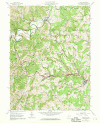
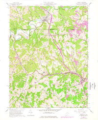
The West Virginia and Pennsylvania border cuts through this landscape where industrial infrastructure meets rural settlements along the Monongahela Railway. Concentrated activity is evident near the town of Osage, where a conveyor and mine dump signal the region's active extraction economy. Further north, Mount Morris sits at a bend in Dunkard Creek, surrounded by numerous family-named burial grounds like Cedar Grove Cem and Lemley Cem. The map provides an intricate look at the mid-century transition of the area, featuring modern landmarks such as a drive-in theater and Radio Station (WKKW) alongside older community foundations like Greeley Sch and Shannon Run Ch. Numerous hills and knobs, including Sutton Knob and Higgins Knob, define the high ground between the creek valleys of Scotts Run and Dolls Run.
Find a feature on this map
56 named features on this map. Tap any name to fly to it.
Don’t see what you’re looking for? This feature index may not catch every label — zoom into the map to look around manually.
Map Details
Editions of this 1958 Osage Map
3 editions found
Other maps of this area

1900 · Masontown
USGS Topo · 1:62,500

1901 · Waynesburg
USGS Topo · 1:62,500

1902 · Morgantown
USGS Topo · 1:62,500

1903 · Masontown
USGS Topo · 1:62,500

1904 · Blacksville
USGS Topo · 1:62,500

1904 · Waynesburg
USGS Topo · 1:62,500

1923 · Blacksville
USGS Topo · 1:62,500

1925 · Blacksville
USGS Topo · 1:62,500

1925 · Morgantown
USGS Topo · 1:62,500

1931 · Masontown
USGS Topo · 1:62,500