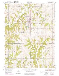
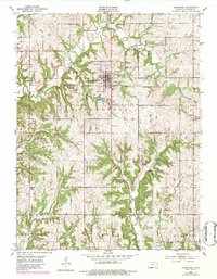
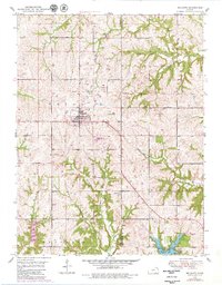
1951 Map of Oskaloosa
USGS Topo · Published 1979About this map
Oskaloosa serves as the focal point of this Jefferson County survey, which reveals a landscape deeply partitioned by early township boundaries and watercourses. The map shows the town surrounded by rural tracts including Fairview, Ozawkie, and Union, with the historical Delaware Reservation line cutting across the eastern territory. The drainage pattern is complex, defined by the convergence of Slough Creek, Oak Creek, and Buck Creek, which carve through the undulating Kansas terrain. Local history and genealogy are anchored by several community landmarks, including Pleasant View Cemetery just north of the city center and Buster Cemetery to the south. Further out, rural spiritual life is represented by Bethel Church and Midway Chapel, while the infrastructure of the mid-20th century is noted by the Sewage Disposal Ponds and a network of named branches like Burr Oak Branch.
Find a feature on this map
27 named features on this map. Tap any name to fly to it.
Don’t see what you’re looking for? This feature index may not catch every label — zoom into the map to look around manually.
Map Details
Editions of this 1951 Oskaloosa Map
5 editions found
Other maps of this area

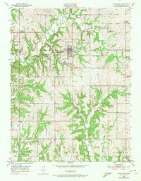
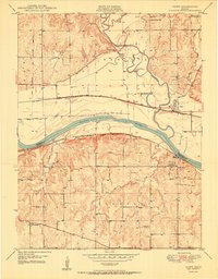
1886 · Oskaloosa
USGS Topo · 1:125,000

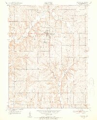
1888 · Oskaloosa
USGS Topo · 1:125,000

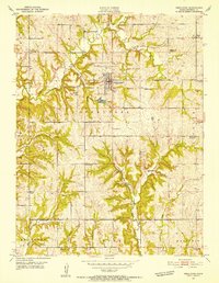
1894 · Oskaloosa
USGS Topo · 1:125,000
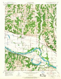
1949 · Williamstown
USGS Topo · 1:24,000
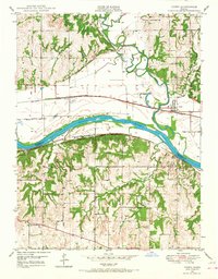
1949 · Perry
USGS Topo · 1:24,000
1950 · Perry
USGS Topo · 1:24,000

1950 · Kansas City
USGS Topo · 1:250,000
1950 · Williamstown
USGS Topo · 1:24,000
1950 · Midland
USGS Topo · 1:24,000
1950 · Mc Louth
USGS Topo · 1:24,000