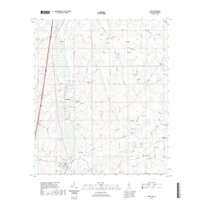
2020 Map of Osyka
USGS Topo · Published 2020About this map
The Tangipahoa River and Little Tangipahoa River drain this rural landscape along the Mississippi and Louisiana border, where small settlements like Chatawa and Osyka anchor the local community. The area is exceptionally rich in genealogical landmarks, documented by dozens of family-named burial grounds including Hinson-Knippers Cem, Phelps Cem, and Felder Cem. Near Chatawa, the Saint Mary of the Pines Cem and Mount Calvary Cem stand as significant local landmarks. The eastern portion of the sheet is defined by the winding course of Bala Chitto Cr and McNab Cr, with the settlement of Gladhurst situated near the county line. The dense network of local roads, such as Magnolia Progress Rd and Centerville Rd, connects these dispersed homesteads and traditional family plots across the rolling terrain of Pike County.
Find a feature on this map
109 named features on this map. Tap any name to fly to it.
Don’t see what you’re looking for? This feature index may not catch every label — zoom into the map to look around manually.
Map Details
Editions of this 2020 Osyka Map
This is the sole edition of this map. No revisions or reprints were ever made.
Other maps of this area

1939 · Sunny Hill
USGS Topo · 1:31,680

1940 · Spring Creek
USGS Topo · 1:31,680

1950 · Kentwood
USGS Topo · 1:31,680

1953 · Natchez
USGS Topo · 1:250,000

1954 · Baton Rouge
USGS Topo · 1:250,000

1956 · Natchez
USGS Topo · 1:250,000

1956 · Baton Rouge
USGS Topo · 1:250,000
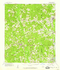
1958 · Kentwood
USGS Topo · 1:62,500
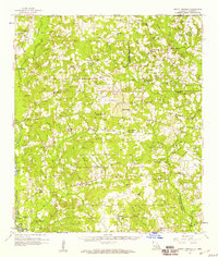
1958 · Mount Hermon
USGS Topo · 1:62,500

1959 · Natchez
USGS Topo · 1:250,000