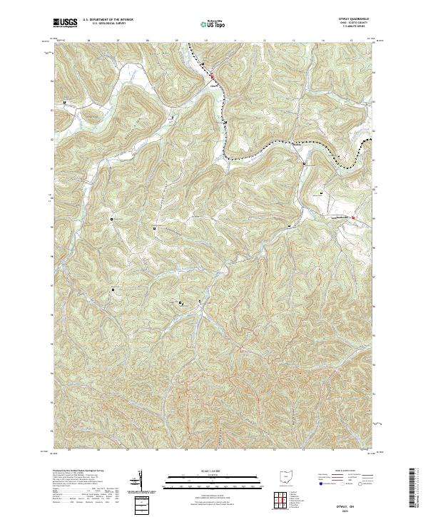
2023 Map of Otway
USGS Topo · Published 2023About this map
Scioto Brush Creek and its many tributaries carve through the deeply dissected landscape of western Scioto County, anchoring the small communities of Otway and Henley. This recent topographical study reveals a rural interior defined by narrow ridges and hollows, where family history is etched into the terrain through numerous small burial grounds such as Otway Cem, Oswego Cem, and Moon Cem. The map illustrates a transition from the structured valley floors to the dense recreational trail networks of the south, including the North Country National Scenic Trl and Backpack Main Trail North Loop Trl. From the heights of Bracken Ridge to the secluded waters of Wolfden Lake, the map provides a precise look at the modern balance between agricultural tradition, local genealogy, and protected woodlands.
Find a feature on this map
91 named features on this map. Tap any name to fly to it.
Don’t see what you’re looking for? This feature index may not catch every label — zoom into the map to look around manually.
Map Details
Editions of this 2023 Otway Map
This is the sole edition of this map. No revisions or reprints were ever made.
Other maps of this area

1915 · Garrison
USGS Topo · 1:62,500

1915 · Otway
USGS Topo · 1:62,500

1916 · Peebles
USGS Topo · 1:62,500

1917 · Otway
USGS Topo · 1:62,500

1918 · Garrison
USGS Topo · 1:62,500

1918 · Peebles
USGS Topo · 1:62,500

1919 · Vanceburg
USGS Topo · 1:62,500

1949 · Pond Run
USGS Topo · 1:24,000

1949 · Vanceburg
USGS Topo · 1:62,500

1949 · Friendship
USGS Topo · 1:24,000