
1902 Map of Ovid
USGS Topo · Published 1902About this map
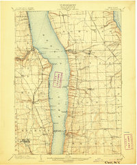
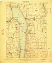
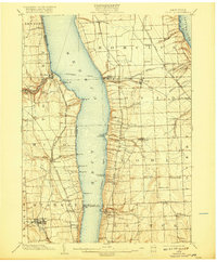
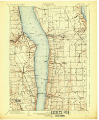
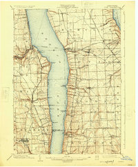
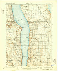
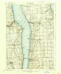
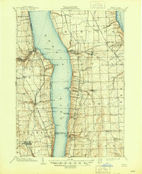
The finger lakes region of Central New York is defined here by the parallel expanses of Seneca Lake and Cayuga Lake, which dictate the transportation and settlement patterns of the early twentieth century. A robust Steamboat Route traverses the waters of Seneca Lake, connecting vital piers such as Lodi Landing and Lamoreaux Landing to the surrounding rail networks. On the western shore, the New York Central and Hudson River R. R. and the Northern Central R. R. converge near Himrod, while the eastern ridge is dominated by the Lehigh Valley R. R. and its Ithaca Branch. This transit-oriented landscape supported a diverse economy of milling and agriculture, evidenced by Cascade Mills and Mays Mill near the industrial hub of Dresden.
Find a feature on this map
74 named features on this map. Tap any name to fly to it.
Don’t see what you’re looking for? This feature index may not catch every label — zoom into the map to look around manually.
Map Details
Editions of this 1902 Ovid Map
9 editions found
Other maps of this area

1893 · Ithaca
USGS Topo · 1:62,500

1895 · Ithaca
USGS Topo · 1:62,500

1898 · Watkins Glen
USGS Topo · 1:62,500

1899 · Auburn
USGS Topo · 1:62,500

1901 · Watkins
USGS Topo · 1:62,500

1902 · Geneva
USGS Topo · 1:62,500

1902 · Phelps
USGS Topo · 1:62,500

1902 · Genoa
USGS Topo · 1:62,500

1902 · Auburn
USGS Topo · 1:62,500

1903 · Penn Yan
USGS Topo · 1:62,500