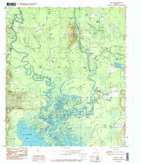
1984 Map of Pace Hill
USGS Topo · Published 1985About this map
The Angelina River and Neches River converge in a complex network of sloughs, ponds, and oxbow lakes on the border of Tyler and Jasper Counties. This landscape is defined by the expansive B A Steinhagen Lake and the dense timberlands of the Angelina National Forest. The map details a labyrinthine drainage system featuring named water bodies like Barrow Lake, Long Lake, and Old River Lakes, along with topographical landmarks such as Pace Hill and Lynch Hill. Settlements are concentrated near the riverbanks, including the historic site of Bevilport and the river access at Fox Landing. The intricate network of Primrose Slough, Devils Slough, and May Haw Pond Slough illustrates the dynamic nature of the river bottomlands before they open into the main reservoir, providing a valuable record of the terrain as it appeared in the mid-1980s.
Find a feature on this map
66 named features on this map. Tap any name to fly to it.
Don’t see what you’re looking for? This feature index may not catch every label — zoom into the map to look around manually.
Map Details
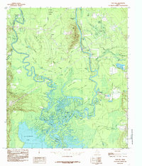
Editions of this 1984 Pace Hill Map
2 editions found
Other maps of this area

1931 · Zavalla
USGS Topo · 1:62,500

1953 · Palestine
USGS Topo · 1:250,000

1954 · Beaumont
USGS Topo · 1:250,000

1955 · Woodville
USGS Topo · 1:62,500

1955 · Curtis
USGS Topo · 1:62,500

1957 · Beaumont
USGS Topo · 1:250,000

1957 · Palestine
USGS Topo · 1:250,000

1958 · Zavalla
USGS Topo · 1:62,500

1958 · Mc Gee Bend
USGS Topo · 1:62,500

1984 · Beaumont
USGS Topo · 1:250,000