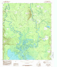
1984 Map of Pace Hill
USGS Topo · Published 1985About this map
The Angelina River and Neches River converge in a dense network of sloughs, lakes, and islands near the border of Tyler and Jasper Counties. This mid-1980s survey documents a landscape dominated by riverine dynamics, where features like Little Pine Island and Big Pine Island sit within a labyrinth of seasonal waterways including May Haw Pond Slough and Devils Slough. The topography is generally low-lying, characterized by the Johnson Flats and Mulberry Flat Slough, though elevated points like Pace Hill and Lynch Hill provide rare relief above the floodplain.
Find a feature on this map
63 named features on this map. Tap any name to fly to it.
Don’t see what you’re looking for? This feature index may not catch every label — zoom into the map to look around manually.
Map Details
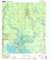
Editions of this 1984 Pace Hill Map
2 editions found
Other maps of this area

1931 · Zavalla
USGS Topo · 1:62,500

1953 · Palestine
USGS Topo · 1:250,000

1954 · Beaumont
USGS Topo · 1:250,000

1955 · Woodville
USGS Topo · 1:62,500

1955 · Curtis
USGS Topo · 1:62,500

1957 · Beaumont
USGS Topo · 1:250,000

1957 · Palestine
USGS Topo · 1:250,000

1958 · Zavalla
USGS Topo · 1:62,500

1958 · Mc Gee Bend
USGS Topo · 1:62,500

1984 · Beaumont
USGS Topo · 1:250,000