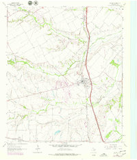
1963 Map of Palmer
USGS Topo · Published 1979About this map
Southern Pacific rail lines dictate the layout of this Texas Blackland Prairie landscape, connecting the small agrarian centers of Palmer and Trumbull. The terrain is deeply etched by a network of waterways including Red Oak Creek and Brushy Creek, which create natural boundaries for the surrounding farmsteads. Local history and genealogy are well-represented by rural landmarks such as Cedar Grove Ch and several family-named burial grounds like Prairie Hyde Cem and Smith Cem. To the south, the settlement of Boyce sits near the confluence of Boyce Creek and Grove Creek, illustrating a late twentieth-century settlement pattern defined by proximity to both reliable water sources and the vital north-south rail corridor.
Find a feature on this map
18 named features on this map. Tap any name to fly to it.
Don’t see what you’re looking for? This feature index may not catch every label — zoom into the map to look around manually.
Map Details
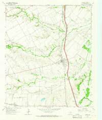
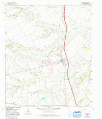
Editions of this 1963 Palmer Map
Other maps of this area

1891 · Dallas
USGS Topo · 1:125,000

1893 · Dallas
USGS Topo · 1:125,000

1954 · Dallas
USGS Topo · 1:250,000

1956 · Ennis
USGS Topo · 1:62,500

1958 · Dallas
USGS Topo · 1:250,000

1959 · Lancaster
USGS Topo · 1:24,000

1959 · Ferris
USGS Topo · 1:24,000

1959 · India
USGS Topo · 1:24,000

1959 · Seagoville
USGS Topo · 1:62,500

1961 · Forreston
USGS Topo · 1:24,000