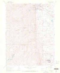
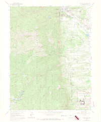
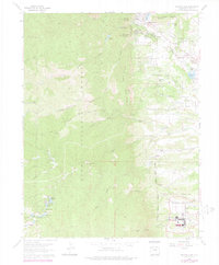
1961 Map of Palmer Lake
USGS Topo · Published 1977About this map
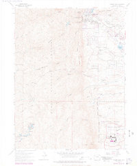
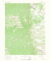
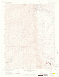
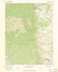
The United States Air Force Academy occupies a significant portion of this landscape, featuring specialized landmarks like the Planetarium, Athletic Fields, and the Parade Ground. North of the military installation, the terrain transitions into the Pike National Forest, where the topography is defined by prominent peaks such as Sundance Mountain and Mount Herman. The settlement of Palmer Lake serves as a focal point for the region's transport history, situated at the junction of the Denver and Rio Grande Western and the Atchison Topeka and Santa Fe railroads.
Find a feature on this map
58 named features on this map. Tap any name to fly to it.
Don’t see what you’re looking for? This feature index may not catch every label — zoom into the map to look around manually.
Map Details
Editions of this 1961 Palmer Lake Map
7 editions found
Other maps of this area

1893 · Platte Canyon
USGS Topo · 1:125,000

1893 · Colorado Springs
USGS Topo · 1:125,000

1894 · Pikes Peak
USGS Topo · 1:125,000

1894 · Castle Rock
USGS Topo · 1:125,000

1901 · Pikes Peak
USGS Topo · 1:125,000

1901 · Pikes Peak
USGS Topo · 1:62,500

1909 · Colorado Springs
USGS Topo · 1:125,000

1913 · Castle Rock
USGS Topo · 1:125,000

1942 · Colorado Springs
USGS Topo · 1:125,000

1948 · Colorado Springs
USGS Topo · 1:62,500