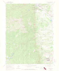
1961 Map of Palmer Lake
USGS Topo · Published 1970About this map
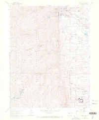
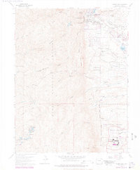
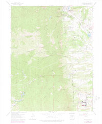
The United States Air Force Academy grounds occupy the southeastern reaches of this map, featuring an extensive layout of Athletic Fields, a Planetarium, and the Parade Ground. North of the academy, the settlement of Palmer Lake serves as a focal point where the Denver and Rio Grande Western Railroad and the Atchison Topeka and Santa Fe Railway converge near Pine Crest.
Find a feature on this map
61 named features on this map. Tap any name to fly to it.
Don’t see what you’re looking for? This feature index may not catch every label — zoom into the map to look around manually.
Map Details
Editions of this 1961 Palmer Lake Map
7 editions found
Other maps of this area

1893 · Platte Canyon
USGS Topo · 1:125,000

1893 · Colorado Springs
USGS Topo · 1:125,000

1894 · Pikes Peak
USGS Topo · 1:125,000

1894 · Castle Rock
USGS Topo · 1:125,000

1901 · Pikes Peak
USGS Topo · 1:125,000

1901 · Pikes Peak
USGS Topo · 1:62,500

1909 · Colorado Springs
USGS Topo · 1:125,000

1913 · Castle Rock
USGS Topo · 1:125,000

1942 · Colorado Springs
USGS Topo · 1:125,000

1948 · Colorado Springs
USGS Topo · 1:62,500