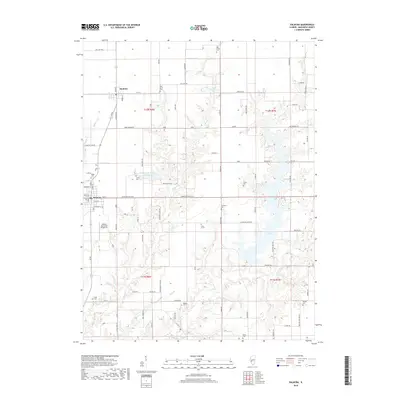
2018 Map of Palmyra
USGS Topo · Published 2018About this map
Palmyra and Modesto anchor this agricultural landscape in northern Macoupin County, where the topography is defined by the dendritic drainage patterns of Otter Creek and its branches. This 2018 survey highlights a high concentration of small, scattered burial grounds that are vital for local genealogical research, including Blue Grass Cemetery, Union Cemetery, and the isolated Doss Grave. The eastern portion of the quadrangle is dominated by the sprawling waters of Otter Lake, which fills the valley of the West Fork Otter Creek. Significant local infrastructure, such as the Zelmer Memorial Airpark Inc and the Palmyra-Modesto City Lake, reflects the shared resources of these two rural communities. The map also traces the winding courses of Solomon Creek and Nassa Creek, showing how the modern road network, including Emmerson Airline Road, navigates the transition between flat prairie farmland and the eroded creek valleys.
Find a feature on this map
86 named features on this map. Tap any name to fly to it.
Don’t see what you’re looking for? This feature index may not catch every label — zoom into the map to look around manually.
Map Details
Editions of this 2018 Palmyra Map
This is the sole edition of this map. No revisions or reprints were ever made.
Other maps of this area

1923 · Carlinville
USGS Topo · 1:48,000

1924 · Waverly
USGS Topo · 1:62,500

1925 · Carlinville
USGS Topo · 1:62,500

1926 · Waverly
USGS Topo · 1:62,500

1931 · Carlinville
USGS Topo · 1:62,500

1932 · Greenfield
USGS Topo · 1:62,500

1932 · Jacksonville
USGS Topo · 1:62,500

1937 · Jacksonville
USGS Topo · 1:62,500

1948 · Quincy
USGS Topo · 1:250,000

1956 · Quincy
USGS Topo · 1:250,000