
1902 Map of Palmyra
USGS Topo · Published 1902About this map
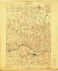
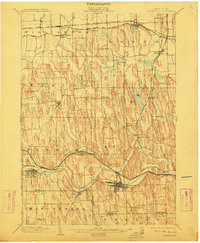
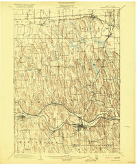
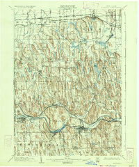
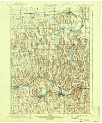
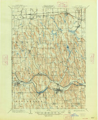
The Erie Canal and West Shore Canal define the southern corridor of this turn-of-the-century landscape, threading through the regional hubs of Palmyra and Newark. North of the canals, the terrain is characterized by a dense concentration of drumlins, which dictated the winding paths of rural roads and the placement of small hamlets like Marion and Joy. In the southwest corner, the prominent rise of Mormon Hill stands near the border of Manchester, representing a significant site for local and religious history.
Find a feature on this map
45 named features on this map. Tap any name to fly to it.
Don’t see what you’re looking for? This feature index may not catch every label — zoom into the map to look around manually.
Map Details
Editions of this 1902 Palmyra Map
7 editions found
Other maps of this area

1899 · Palmyra
USGS Topo · 1:62,500

1900 · Macedon
USGS Topo · 1:62,500

1900 · Canandaigua
USGS Topo · 1:62,500

1902 · Sodus Bay
USGS Topo · 1:62,500

1902 · Pultneyville
USGS Topo · 1:62,500

1902 · Geneva
USGS Topo · 1:62,500

1902 · Clyde
USGS Topo · 1:62,500

1902 · Phelps
USGS Topo · 1:62,500

1903 · Canandaigua
USGS Topo · 1:62,500

1942 · Ontario
USGS Topo · 1:31,680