
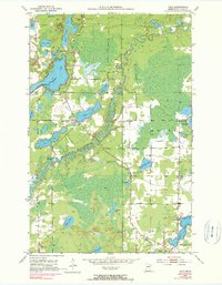
1951 Map of Palo
USGS Topo · Published 1952About this map
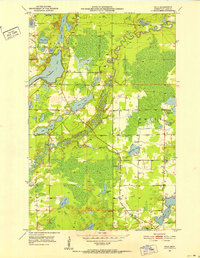
The St Louis River winds through this 1951 landscape, defining a region where Minnesota's Iron Range industry meets a burgeoning lakeside recreation culture. The settlement of Palo serves as a central point, supported by community fixtures like the St Louis River Hall and Rauha Cem. To the north, the cluster of camps and social centers around Esquagama Lake—including Camp Sigel, the 4H Camp, and the Esquagama Club—illustrates the mid-century development of the Iron Range as a destination for leisure and youth organization.
Find a feature on this map
33 named features on this map. Tap any name to fly to it.
Don’t see what you’re looking for? This feature index may not catch every label — zoom into the map to look around manually.
Map Details
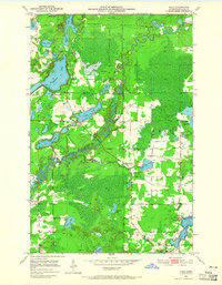
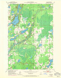
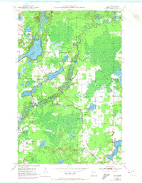
Editions of this 1951 Palo Map
6 editions found
Other maps of this area

1949 · Aurora
USGS Topo · 1:24,000

1950 · Aurora
USGS Topo · 1:24,000

1950 · Biwabik
USGS Topo · 1:24,000

1950 · Mc Kinley
USGS Topo · 1:24,000

1951 · Biwabik
USGS Topo · 1:24,000

1951 · Mc Kinley
USGS Topo · 1:24,000

1951 · Gilbert
USGS Topo · 1:24,000

1951 · Central Lakes
USGS Topo · 1:24,000

1951 · Makinen
USGS Topo · 1:24,000

1954 · Hibbing
USGS Topo · 1:250,000