
1958 Map of Panguitch Lake
USGS Topo · Published 1960About this map
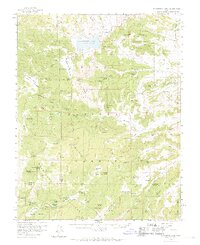
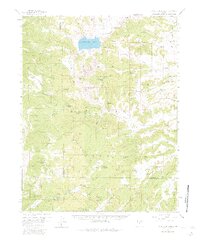
Panguitch Lake sits as the central focal point of this 1958 survey, surrounded by the high-elevation terrain of the Dixie National Forest. The landscape is a complex intersection of volcanic geology and high-country hydrology, with expansive lava flows and lava rock fields surrounding water features like Aspen-Mirror Lake and the subterranean curiosity of Mammoth Cave. The area's history of livestock and land use is visible through family-named landmarks such as John Cameron Troughs and Cameron Troughs, as well as localized industry at the Coal Pit near Haycock Mountain. Scattered through the timber are important administrative and recreational sites including a Ranger Station and Forest Camp. The map documents a network of primitive transportation, where jeep trails and footpaths provide access to remote springs like Yellowjacket Spr and Bowers Spring.
Find a feature on this map
82 named features on this map. Tap any name to fly to it.
Don’t see what you’re looking for? This feature index may not catch every label — zoom into the map to look around manually.
Map Details
Editions of this 1958 Panguitch Lake Map
3 editions found
Other maps of this area

1886 · Kanab
USGS Topo · 1:250,000

1953 · Cedar City
USGS Topo · 1:250,000

1957 · Orderville Canyon NE
USGS Topo · 1:24,000

1958 · Cedar City
USGS Topo · 1:250,000

1958 · Orderville
USGS Topo · 1:62,500

1958 · Cedar Breaks
USGS Topo · 1:62,500

1962 · Cedar City
USGS Topo · 1:250,000

1966 · Alton
USGS Topo · 1:24,000

1966 · Hatch
USGS Topo · 1:24,000

1966 · George Mtn
USGS Topo · 1:24,000
Featured Places
- Panguitch Lake Resort, UT
- Lake View Resort, UT
- Duck Creek Village, UT
- Iron County, UT
- Garfield County, UT