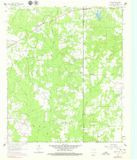
1962 Map of Panola
USGS Topo · Published 1979About this map
Bethany and Panola sit at the intersection of state lines and parish boundaries, anchoring a landscape defined by the winding tributaries of West Fork Socagee Creek and East Fork Socagee Creek. The 1960s terrain is heavily marked by the presence of numerous small family or community burying grounds, including Jernigan Cem, Mt Zion Cem, and State Line Cem, suggesting a long-established rural settlement pattern along the border.
Find a feature on this map
22 named features on this map. Tap any name to fly to it.
Don’t see what you’re looking for? This feature index may not catch every label — zoom into the map to look around manually.
Map Details
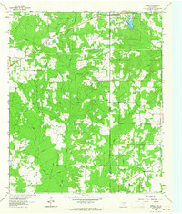
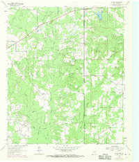
Editions of this 1962 Panola Map
Other maps of this area

1943 · Waskom
USGS Topo · 1:62,500

1945 · Grand Cane
USGS Topo · 1:62,500

1945 · Waskom
USGS Topo · 1:62,500

1945 · Greenwood
USGS Topo · 1:62,500

1945 · Socagee Bayou
USGS Topo · 1:62,500

1955 · Shreveport
USGS Topo · 1:250,000

1955 · Greenwood
USGS Topo · 1:62,500

1956 · Shreveport
USGS Topo · 1:250,000

1956 · Tyler
USGS Topo · 1:250,000

1956 · Deadwood
USGS Topo · 1:62,500