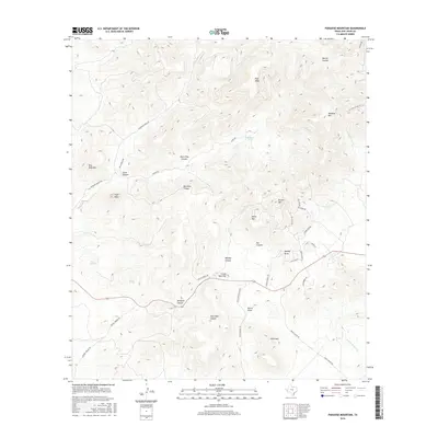
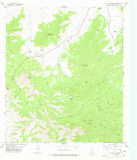
2016 Map of Paradise Mountain
USGS Topo · Published 2016About this map
Paradise Mtn rises as a central landmark in this high-desert portion of the Trans-Pecos, surrounded by a complex network of canyons and mesas. The landscape is defined by its drainages, including the ephemeral pathways of Merrill Canyon and Medley Canyon, which feed toward the N Fork Alamito Cr. Water sources appear as isolated but critical features, such as Blackeye Tank and the well-documented Barrel Spring.
Find a feature on this map
43 named features on this map. Tap any name to fly to it.
Don’t see what you’re looking for? This feature index may not catch every label — zoom into the map to look around manually.
Map Details
Editions of this 2016 Paradise Mountain Map
This is the sole edition of this map. No revisions or reprints were ever made.
Other maps of this area

1894 · Valentine
USGS Topo · 1:125,000

1895 · Marfa
USGS Topo · 1:125,000

1897 · Valentine
USGS Topo · 1:125,000

1943 · Valentine
USGS Topo · 1:125,000

1959 · Marfa
USGS Topo · 1:250,000

1965 · Marfa
USGS Topo · 1:250,000
1978 · Blue Mountain
USGS Topo · 1:24,000
1978 · Paradise Mountain
USGS Topo · 1:24,000
1978 · El Muerto Peak
USGS Topo · 1:24,000
1978 · Mount Livermore
USGS Topo · 1:24,000