
1938 Map of Parguera
USGS Topo · Published 1938About this map
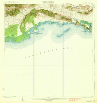
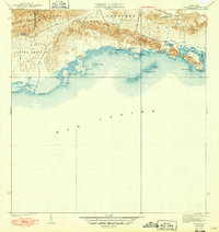
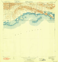
The coastal settlement of Parguera and the nearby Salinas El Papayo define this 1930s survey of the southwestern Puerto Rican shoreline. This period predates the massive modernization of the island's infrastructure, showing the Carretera No. 39 as the primary artery connecting the region to the interior. The map illustrates a landscape of coastal cays and points, including Isla Maguey, Enrique Cay, and Isla Cueva, which protect the shallow waters of the Caribbean Sea. Education is anchored by the Escuela Ramon Baldorioty de Castro, situated along the main road. The terrain transitions from the salt flats and mangroves near Pta Pitahaya to the prominent heights of Cerro Vertedero in the east. This detailed topographical work reveals the early footprint of local ranching at Cabassa Rancho and the distinct municipal boundary between the Municipio de Cabo Rojo and the Municipio de Lajas.
Find a feature on this map
25 named features on this map. Tap any name to fly to it.
Don’t see what you’re looking for? This feature index may not catch every label — zoom into the map to look around manually.
Map Details
Editions of this 1938 Parguera Map
4 editions found
Other maps of this area

1935 · Puerto Real
USGS Topo · 1:25,000

1937 · San German
USGS Topo · 1:25,000

1937 · Sabana Grande
USGS Topo · 1:25,000

1937 · Puerto Real
USGS Topo · 1:25,000

1938 · Guanica
USGS Topo · 1:30,000

1938 · Cabo Rojo
USGS Topo · 1:30,000

1941 · San German
USGS Topo · 1:30,000

1941 · Puerto Real
USGS Topo · 1:30,000

1941 · Sabana Grande
USGS Topo · 1:30,000
1949 · Puerto Real SE
USGS Topo · 1:10,000