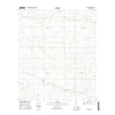
2017 Map of Parish Ranch
USGS Topo · Published 2017About this map
Rio Peñasco winds through the northern landscape of this Eddy County survey, defining the drainage patterns of an arid ranching region. The settlement of Parish Ranch serves as a primary local landmark, situated among a network of intermittent watercourses and draws that characterize the high desert terrain. These features, including Red Tank Draw and Cat Claw Draw, illustrate the complex natural irrigation and erosion paths essential to understanding land use in the Pecos River valley vicinity. To the south, North Seven River and Hoag Tank provide additional water resources in a territory dominated by large-scale township divisions and rural county roads. This 2017 edition by the U.S. Geological Survey documents the modern infrastructure of the area, from Co Rd 39 in the north to the junctions near Crossbuck Rd in the southeast.
Find a feature on this map
23 named features on this map. Tap any name to fly to it.
Don’t see what you’re looking for? This feature index may not catch every label — zoom into the map to look around manually.
Map Details
Editions of this 2017 Parish Ranch Map
This is the sole edition of this map. No revisions or reprints were ever made.
Other maps of this area

1954 · Seven Rivers
USGS Topo · 1:24,000

1954 · Carlsbad
USGS Topo · 1:250,000

1955 · Artesia
USGS Topo · 1:24,000

1955 · Dayton
USGS Topo · 1:24,000

1955 · Hope
USGS Topo · 1:24,000

1956 · Hope
USGS Topo · 1:24,000

1956 · Parish Ranch
USGS Topo · 1:24,000

1956 · Antelope Sink
USGS Topo · 1:24,000

1956 · Hope SE
USGS Topo · 1:24,000

1957 · Foster Ranch
USGS Topo · 1:24,000