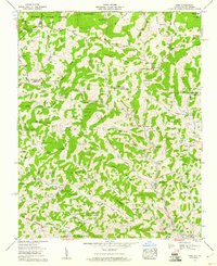
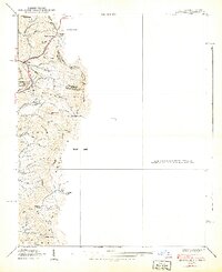
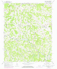
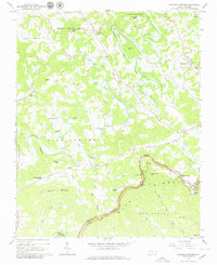
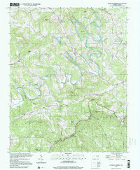
1959 Map of Park
USGS Topo · Published 1960This historical map portrays the area of Park in 1959, primarily covering Ashe County as well as portions of Virginia. Featuring a scale of 1:24000, this map provides a highly detailed snapshot of the terrain, roads, buildings, counties, and historical landmarks in the Park region at the time. Published in 1960, it is one of 3 known editions of this map due to revisions or reprints.
Find a feature on this map
123 named features on this map. Tap any name to fly to it.
Don’t see what you’re looking for? This feature index may not catch every label — zoom into the map to look around manually.
Map Details
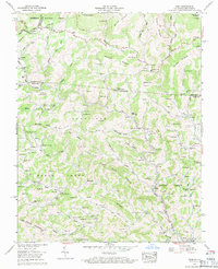
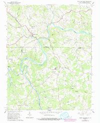
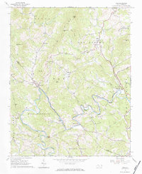
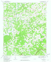
Editions of this 1959 Park Map
3 editions found
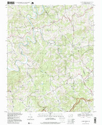
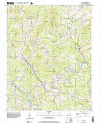
Historical Maps of Washington County Through Time
19 maps found

1935 Baldwin Gap
Ashe County, NC

1935 Park
Ashe County, NC

1935 Zionville
Ashe County, NC
1938 Baldwin Gap
Ashe County, NC
1939 Baldwin Gap
Ashe County, NC
1939 Zionville
Ashe County, NC
1959 Baldwin Gap
Ashe County, NC
1959 Park
Ashe County, NC
1959 Zionville
Ashe County, NC
1966 Grassy Creek
Ashe County, NC
1966 Mouth Of Wilson
Ashe County, NC
1966 Todd
Ashe County, NC
1966 Warrensville
Ashe County, NC
1967 Glendale Springs
Ashe County, NC
1968 Laurel Springs
Ashe County, NC
1996 Laurel Springs
Ashe County, NC
1998 Todd
Ashe County, NC
2000 Glendale Springs
Ashe County, NC
2003 Baldwin Gap
Ashe County, NC