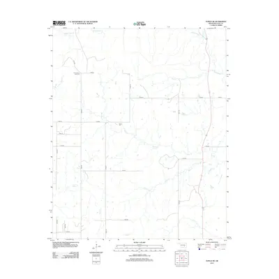
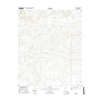
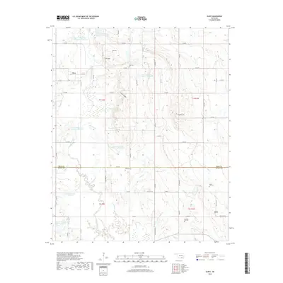
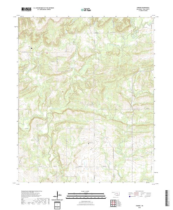
1967 Map of Parker
USGS Topo · Published 1989About this map
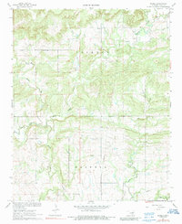
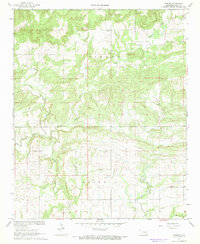
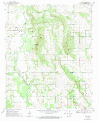
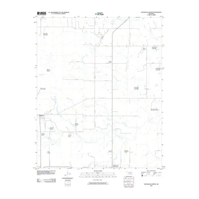
Muddy Boggy Creek and Caney Boggy Creek dominate this landscape in southern Oklahoma, where the floodplains of the Boggy river system meet the hilly terrain of Jackson and Haskell townships. The settlement of Parker serves as a local anchor in the north, while the presence of Pine Sch and Pine Cem suggests a once-active rural school district and community hub. This mid-century survey captures the region's transition into a more modern pastoral economy, evidenced by the established road network connecting scattered farmsteads and family landmarks. Genealogists may find value in the remote McCarty Cem, tucked away in the southern half of the quadrangle. The hydrology of the area is particularly detailed, tracing the winding paths of Sweetwater Creek, Rock Creek, and Salt Creek as they feed into the larger river basin.
Find a feature on this map
14 named features on this map. Tap any name to fly to it.
Don’t see what you’re looking for? This feature index may not catch every label — zoom into the map to look around manually.
Map Details
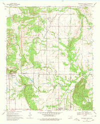
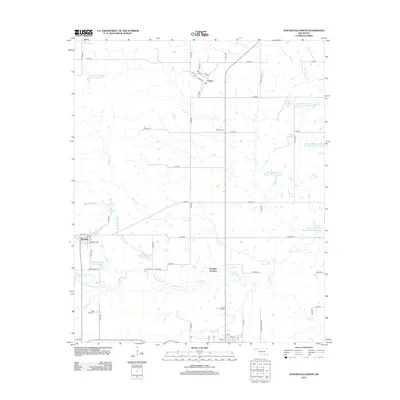
Editions of this 1967 Parker Map
2 editions found
Historical Maps of Parker Through Time
30 maps found
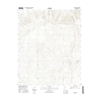
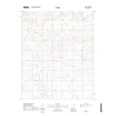
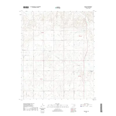
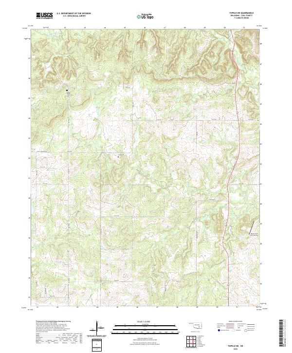
1957 Tupelo NE
Coal County, OK
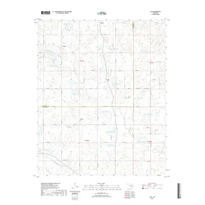
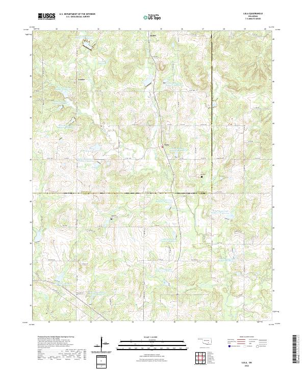
1958 Lula
Coal County, OK
1967 Parker
Coal County, OK
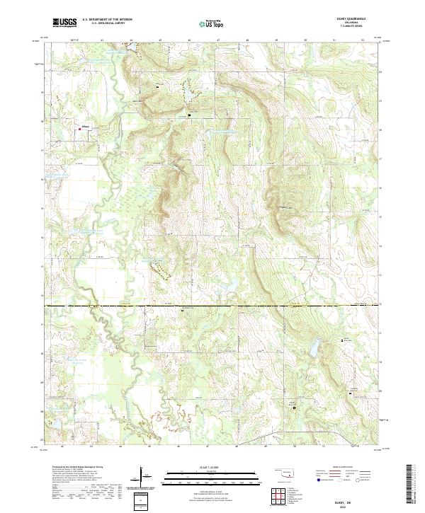
1969 Olney
Coal County, OK
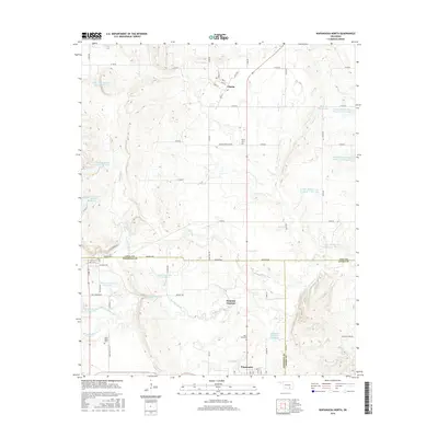
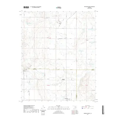
1969 Wapanucka North
Coal County, OK
2009 Lula
Coal County, OK

2009 Olney
Coal County, OK
2009 Tupelo NE
Coal County, OK
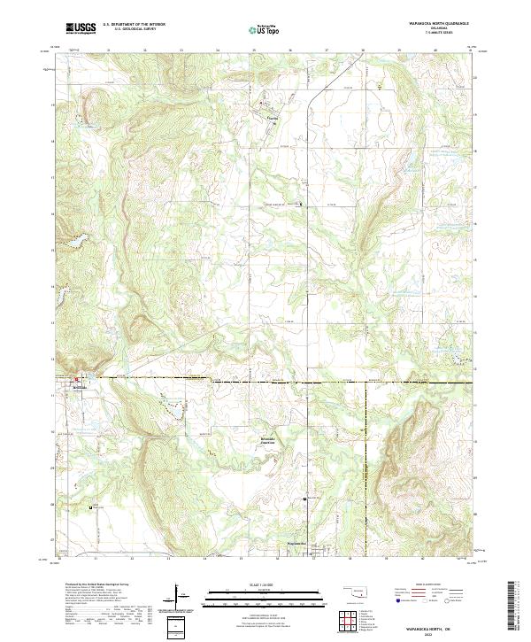
2009 Wapanucka North
Coal County, OK
2010 Parker
Coal County, OK
2012 Lula
Coal County, OK

2012 Olney
Coal County, OK
2012 Parker
Coal County, OK
2012 Tupelo NE
Coal County, OK
2012 Wapanucka North
Coal County, OK
2016 Lula
Coal County, OK
2016 Olney
Coal County, OK
2016 Parker
Coal County, OK
2016 Tupelo NE
Coal County, OK
2016 Wapanucka North
Coal County, OK
2018 Lula
Coal County, OK
2018 Olney
Coal County, OK
2018 Parker
Coal County, OK
2018 Tupelo NE
Coal County, OK
2018 Wapanucka North
Coal County, OK
2022 Lula
Coal County, OK
2022 Olney
Coal County, OK
2022 Parker
Coal County, OK
2022 Tupelo NE
Coal County, OK
2022 Wapanucka North
Coal County, OK