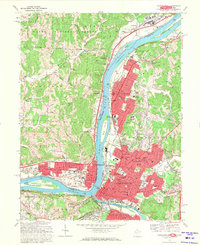
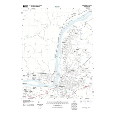
1969 Map of Parkersburg
USGS Topo · Published 1971About this map
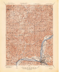
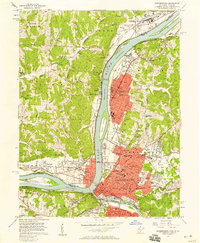
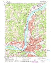
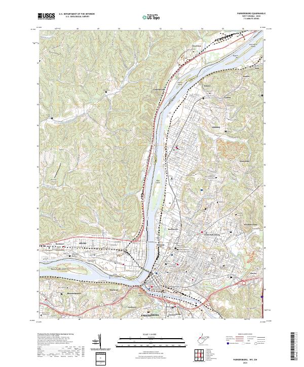
Parkersburg and Vienna dominate the eastern bank of the Ohio River in this late 1960s study, showcasing the post-war expansion of Wood County, West Virginia. The landscape is defined by its industrial and transportation hubs, with the Baltimore and Ohio Railroad and the Memorial Bridge (Toll) linking the city to Belpre, Ohio. Large river islands such as Blennerhassett Island and Vienna Island remain prominent features in the channel, reflecting the area's long association with river navigation and early American history.
Find a feature on this map
94 named features on this map. Tap any name to fly to it.
Don’t see what you’re looking for? This feature index may not catch every label — zoom into the map to look around manually.
Map Details
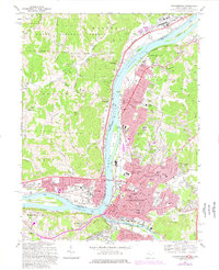
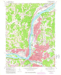
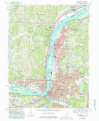
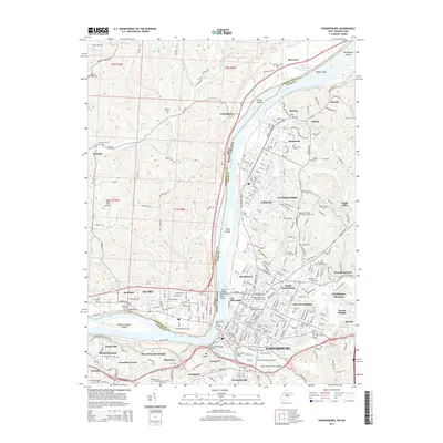
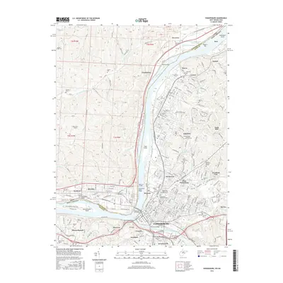
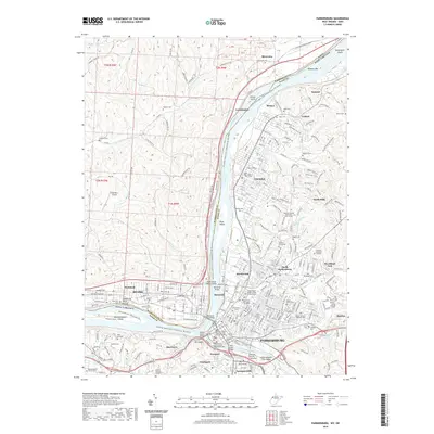
Editions of this 1969 Parkersburg Map
5 editions found
Historical Maps of Parkersburg Through Time
11 maps found

1902 Parkersburg
Wood County, WV
1904 Parkersburg
Wood County, WV
1957 Parkersburg
Wood County, WV
1969 Parkersburg
Wood County, WV

1981 Parkersburg
Wood County, WV
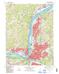
1994 Parkersburg
Wood County, WV
2010 Parkersburg
Wood County, WV
2014 Parkersburg
Wood County, WV
2016 Parkersburg
Wood County, WV
2019 Parkersburg
Wood County, WV
2023 Parkersburg
Wood County, WV