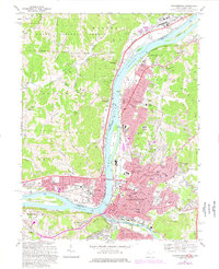
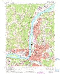
1969 Map of Parkersburg
USGS Topo · Published 1977About this map
The confluence of the Ohio River and the Little Kanawha River anchors this 1969 survey, where the bustling industrial and residential expansion of Parkersburg and Vienna meets the wooded hills of the Wayne National Forest. The map captures a sophisticated urban landscape across the river from Belpre, Ohio, detailed with neighborhood schools like Emerson Sch and vital institutions including St Josephs Hospital. The Baltimore and Ohio railroad corridor traces the riverbanks, serving the region's commerce while neighborhood names like Tavennersville and Beechwood reflect established local identity.
Find a feature on this map
90 named features on this map. Tap any name to fly to it.
Don’t see what you’re looking for? This feature index may not catch every label — zoom into the map to look around manually.
Map Details
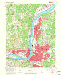
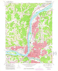
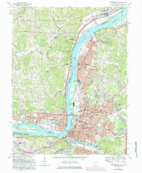
Editions of this 1969 Parkersburg Map
5 editions found
Other maps of this area

1902 · Parkersburg
USGS Topo · 1:62,500

1904 · Parkersburg
USGS Topo · 1:62,500

1904 · Marietta
USGS Topo · 1:62,500

1906 · Elizabeth
USGS Topo · 1:62,500

1906 · Belleville
USGS Topo · 1:62,500

1924 · Belleville
USGS Topo · 1:62,500

1924 · Marietta
USGS Topo · 1:62,500

1924 · Elizabeth
USGS Topo · 1:62,500

1926 · Elizabeth
USGS Topo · 1:62,500

1926 · Belleville
USGS Topo · 1:62,500