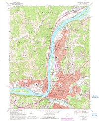
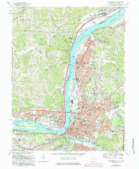
1969 Map of Parkersburg
USGS Topo · Published 1989About this map
Blennerhassett Island sits in the Ohio River at the southern edge of this mid-century survey, a landmark steeped in regional frontier history. The river serves as the central artery for this industrial corridor, where the Baltimore and Ohio RR follows the West Virginia shoreline through Vienna and Parkersburg. To the north, the Muskingum River joins the Ohio at a point marked by Vienna Island and the Memorial Bridge (Toll).
Find a feature on this map
101 named features on this map. Tap any name to fly to it.
Don’t see what you’re looking for? This feature index may not catch every label — zoom into the map to look around manually.
Map Details
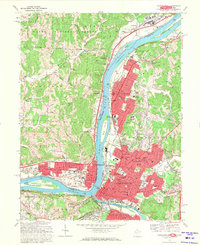
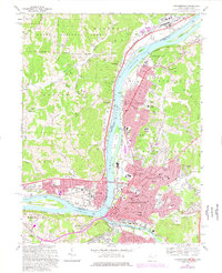
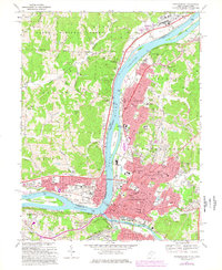
Editions of this 1969 Parkersburg Map
5 editions found
Other maps of this area

1902 · Parkersburg
USGS Topo · 1:62,500

1904 · Parkersburg
USGS Topo · 1:62,500

1904 · Marietta
USGS Topo · 1:62,500

1906 · Elizabeth
USGS Topo · 1:62,500

1906 · Belleville
USGS Topo · 1:62,500

1924 · Belleville
USGS Topo · 1:62,500

1924 · Marietta
USGS Topo · 1:62,500

1924 · Elizabeth
USGS Topo · 1:62,500

1926 · Elizabeth
USGS Topo · 1:62,500

1926 · Belleville
USGS Topo · 1:62,500