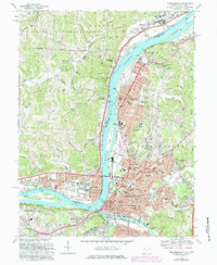
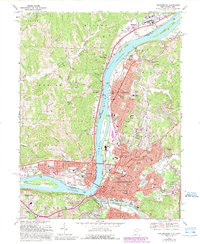
1969 Map of Parkersburg
USGS Topo · Published 1984About this map
The Ohio River dominates this mid-century landscape, serving as the industrial and geographic spine between West Virginia and Ohio. The riverfront is characterized by heavy transport and utility infrastructure, including the Baltimore and Ohio RR lines and the prominent Slag Pits near Riverview. The urban development of Parkersburg and Vienna is clearly defined, showing a dense grid of neighborhoods supported by numerous local institutions like St Josephs Hospital and Ohio Valley College.
Find a feature on this map
74 named features on this map. Tap any name to fly to it.
Don’t see what you’re looking for? This feature index may not catch every label — zoom into the map to look around manually.
Map Details
Editions of this 1969 Parkersburg Map
5 editions found
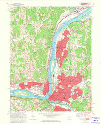
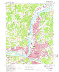
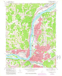
Other maps of this area

1902 · Parkersburg
USGS Topo · 1:62,500

1904 · Parkersburg
USGS Topo · 1:62,500

1904 · Marietta
USGS Topo · 1:62,500

1906 · Elizabeth
USGS Topo · 1:62,500

1906 · Belleville
USGS Topo · 1:62,500

1924 · Belleville
USGS Topo · 1:62,500

1924 · Marietta
USGS Topo · 1:62,500

1924 · Elizabeth
USGS Topo · 1:62,500

1926 · Elizabeth
USGS Topo · 1:62,500

1926 · Belleville
USGS Topo · 1:62,500