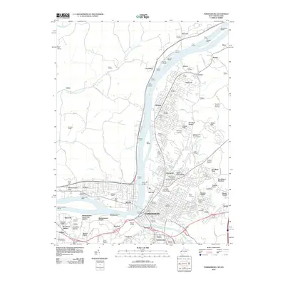
1969 Map of Parkersburg
USGS Topo · Published 1978About this map
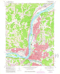
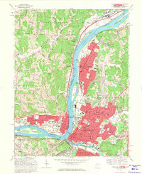
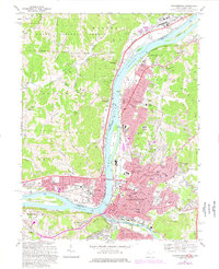
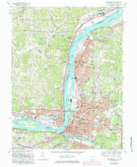
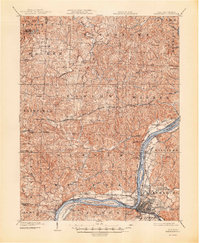
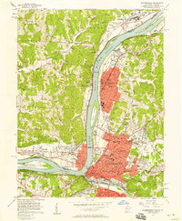
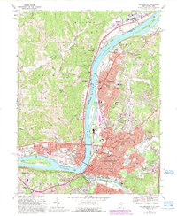
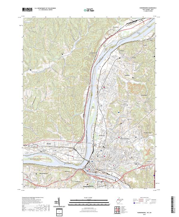
Blennerhassett Island and the confluence of the Ohio River and Little Kanawha River anchor this mid-century portrait of industrial and urban development. The mapping shows the intense growth of Parkersburg and Vienna on the West Virginia side, contrasted with the more suburban and rural character of Belpre and Rockland in Ohio. Critical infrastructure of the era is evident, from the Memorial Bridge to the extensive Baltimore and Ohio rail lines serving the riverfront factories and slag pits.
Find a feature on this map
72 named features on this map. Tap any name to fly to it.
Don’t see what you’re looking for? This feature index may not catch every label — zoom into the map to look around manually.
Map Details
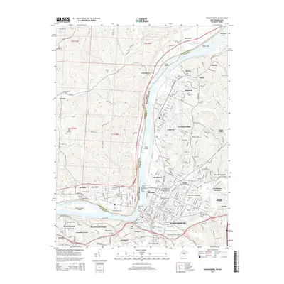
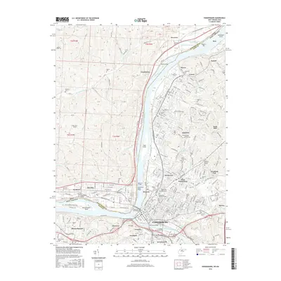
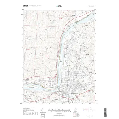
Editions of this 1969 Parkersburg Map
5 editions found
Historical Maps of Parkersburg Through Time
11 maps found

1902 Parkersburg
Wood County, WV
1904 Parkersburg
Wood County, WV
1957 Parkersburg
Wood County, WV
1969 Parkersburg
Wood County, WV

1981 Parkersburg
Wood County, WV
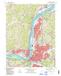
1994 Parkersburg
Wood County, WV
2010 Parkersburg
Wood County, WV
2014 Parkersburg
Wood County, WV
2016 Parkersburg
Wood County, WV
2019 Parkersburg
Wood County, WV
2023 Parkersburg
Wood County, WV