
1917 Map of Pasco
USGS Topo · Published 1917About this map
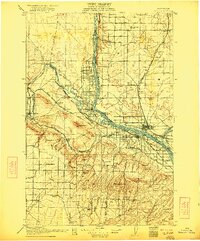
The Columbia River and its confluence with the Snake River anchor this 1917 survey of the burgeoning Tri-Cities region. The topography reveals a landscape transitioning from the open sagebrush of Taylor Flat to organized Irrigated Land near Richland and Kennewick. Transportation networks are the defining force of development here, with the Northern Pacific and the Oregon-Washington Railroad and Navigation Company lines converging at Pasco.
Find a feature on this map
80 named features on this map. Tap any name to fly to it.
Don’t see what you’re looking for? This feature index may not catch every label — zoom into the map to look around manually.
Map Details
Editions of this 1917 Pasco Map
4 editions found
Other maps of this area

1906 · Blalock Island
USGS Topo · 1:125,000

1908 · Blalock Island
USGS Topo · 1:125,000

1908 · Umatilla
USGS Topo · 1:125,000

1915 · Wallulah
USGS Topo · 1:96,000

1915 · Prosser
USGS Topo · 1:125,000

1916 · Connell
USGS Topo · 1:125,000

1916 · Coyote Rapids
USGS Topo · 1:62,500

1917 · Prosser
USGS Topo · 1:125,000

1918 · Connell
USGS Topo · 1:125,000

1918 · Wallula
USGS Topo · 1:125,000