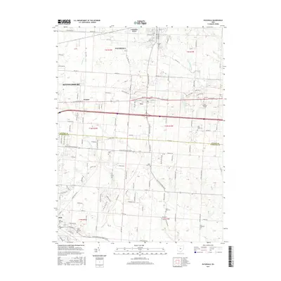
2016 Map of Pataskala
USGS Topo · Published 2016About this map
Pataskala and the surrounding township lands sit at a crossroads of suburban expansion and agricultural tradition along the Licking Co Fairfield Co boundary. The landscape is defined by the headwaters of Muddy Fork and Sycamore Cr, which wind through a grid of historic corridors including National Rd and Columbus St. Small communities like Etna and Wagram serve as anchors in a region where local heritage is preserved in numerous family and township burial grounds. Genealogists will find significant value in the documentation of several sites, from the Violet Township Cem and Memorial Cem in the southwest to the Saint Jacobs Church Cem in the east. The presence of Lee's Dogpatch Airport and the Christian Center reflect the modern infrastructure that has grown alongside these older settlements.
Find a feature on this map
127 named features on this map. Tap any name to fly to it.
Don’t see what you’re looking for? This feature index may not catch every label — zoom into the map to look around manually.
Map Details
Editions of this 2016 Pataskala Map
This is the sole edition of this map. No revisions or reprints were ever made.
Other maps of this area

1902 · Westerville
USGS Topo · 1:62,500

1904 · Westerville
USGS Topo · 1:62,500

1907 · Thurston
USGS Topo · 1:62,500

1908 · Granville
USGS Topo · 1:62,500

1909 · Thurston
USGS Topo · 1:62,500

1910 · Granville
USGS Topo · 1:62,500

1925 · East Columbus
USGS Topo · 1:62,500

1943 · East Columbus
USGS Topo · 1:62,500

1947 · Columbus
USGS Topo · 1:250,000

1950 · Marion
USGS Topo · 1:250,000