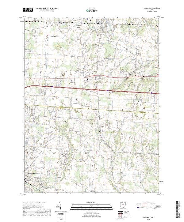
2023 Map of Pataskala
USGS Topo · Published 2023About this map
Pataskala and the surrounding Licking County countryside appear here in the early 21st century, showing a landscape defined by its transition from agricultural heritage to modern suburban expansion. The historic National Rd corridor serves as a primary east-west artery, connecting the settlements of Etna and Wagram. This survey is particularly valuable for genealogists, as it meticulously records numerous small family and township burial grounds, from the Violet Township Cem near Pickerington to the isolated Bowers Cem and Houser Cem.
Find a feature on this map
76 named features on this map. Tap any name to fly to it.
Don’t see what you’re looking for? This feature index may not catch every label — zoom into the map to look around manually.
Map Details
Editions of this 2023 Pataskala Map
This is the sole edition of this map. No revisions or reprints were ever made.
Other maps of this area

1902 · Westerville
USGS Topo · 1:62,500

1904 · Westerville
USGS Topo · 1:62,500

1907 · Thurston
USGS Topo · 1:62,500

1908 · Granville
USGS Topo · 1:62,500

1909 · Thurston
USGS Topo · 1:62,500

1910 · Granville
USGS Topo · 1:62,500

1925 · East Columbus
USGS Topo · 1:62,500

1943 · East Columbus
USGS Topo · 1:62,500

1947 · Columbus
USGS Topo · 1:250,000

1950 · Marion
USGS Topo · 1:250,000