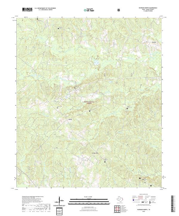
2022 Map of Patroon North
USGS Topo · Published 2022About this map
The Sabine National Forest anchors this portion of Shelby County, where a dense network of creek branches and bayous defines the wooded landscape. Smaller settlements like Huxley in the northeast and Dreka in the center are connected by a web of county roads and FM routes that follow the winding topography. The area is notably dense with family and community burial grounds, including the Shofner - McMahon Cem, Reynolds Cem, and Latham Cem, which provide significant anchor points for local genealogical research.
Find a feature on this map
56 named features on this map. Tap any name to fly to it.
Don’t see what you’re looking for? This feature index may not catch every label — zoom into the map to look around manually.
Map Details
Editions of this 2022 Patroon North Map
This is the sole edition of this map. No revisions or reprints were ever made.
Historical Maps of Ragtown Through Time
23 maps found
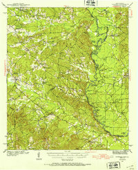
1944 Patroon
Shelby County, TX
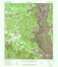
1956 Patroon
Shelby County, TX
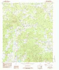
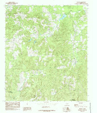
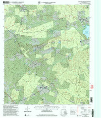
1984 Arcadia
Shelby County, TX
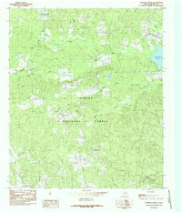
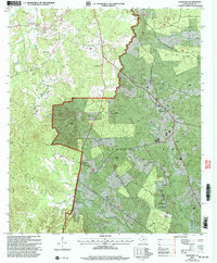
1984 Brushy Creek
Shelby County, TX
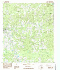
1984 Garrison East
Shelby County, TX
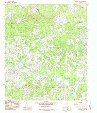
1984 Hurstown
Shelby County, TX
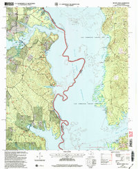
1984 Mount Herman
Shelby County, TX
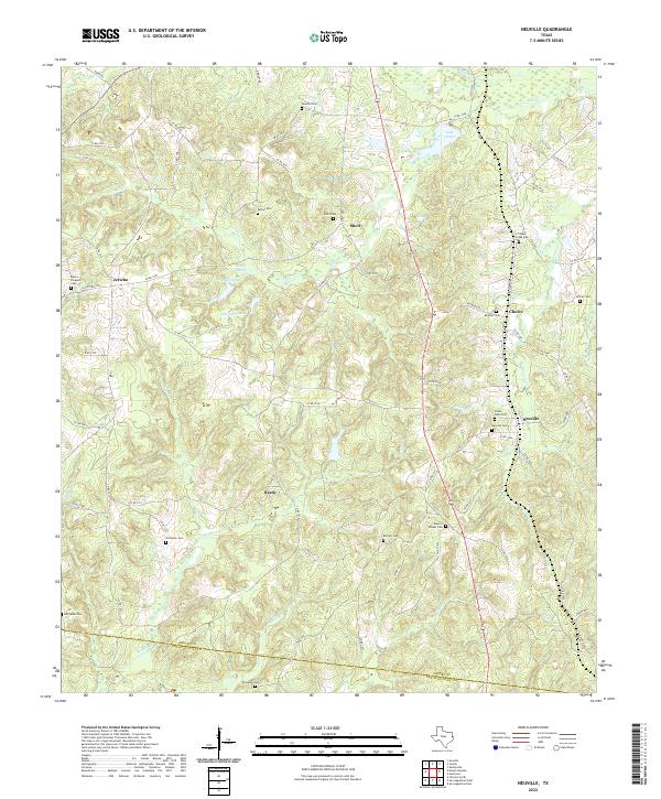
1984 Neuville
Shelby County, TX
1984 Patroon North
Shelby County, TX
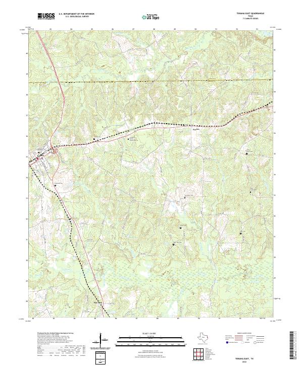
1984 Tenaha East
Shelby County, TX
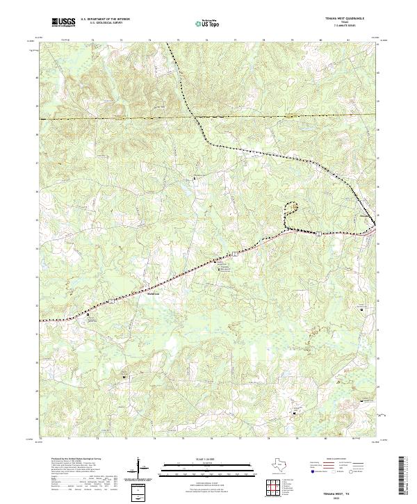
1984 Tenaha West
Shelby County, TX
2003 Brushy Creek
Shelby County, TX
2003 Hurstown
Shelby County, TX
2003 Patroon North
Shelby County, TX
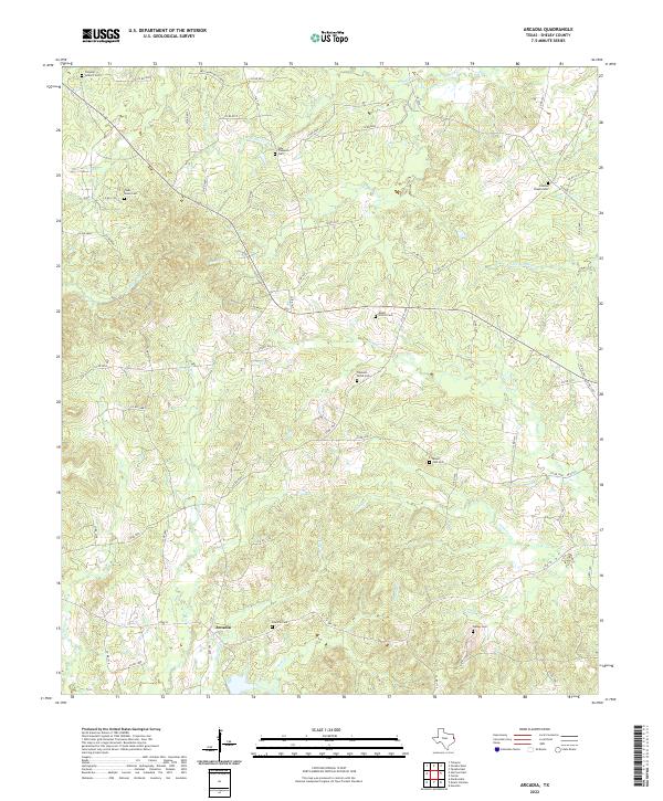
2022 Arcadia
Shelby County, TX
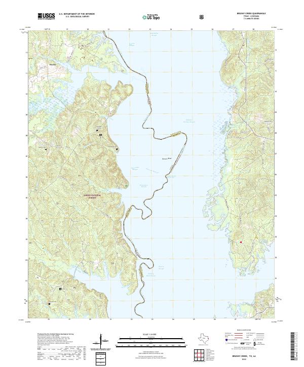
2022 Brushy Creek
Shelby County, TX
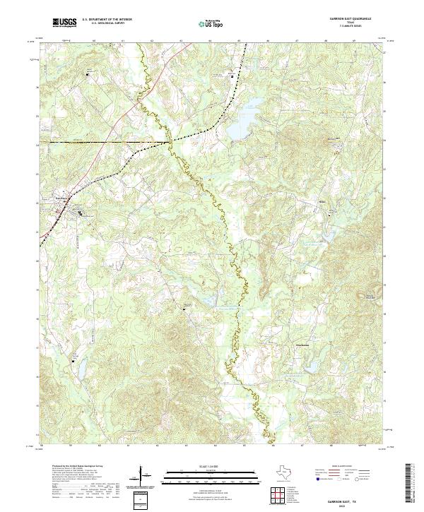
2022 Garrison East
Shelby County, TX
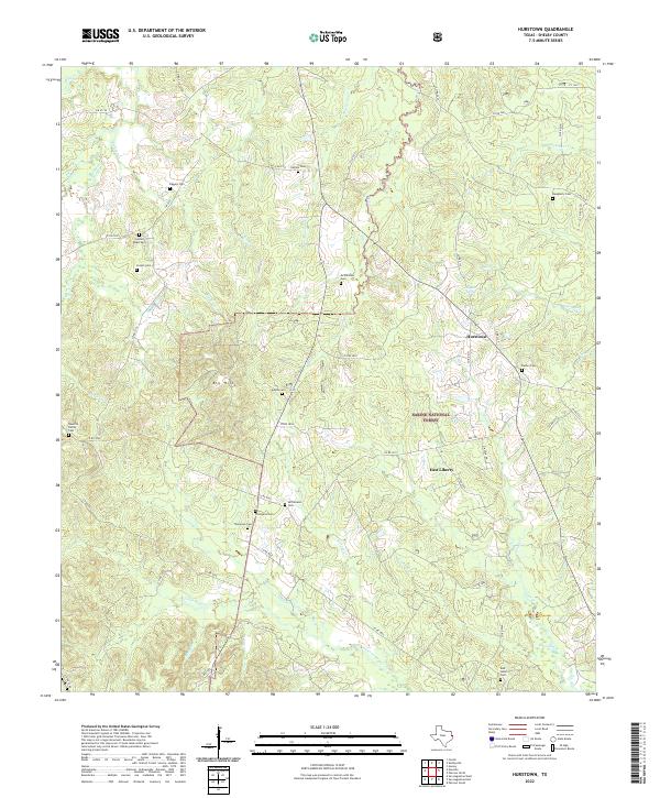
2022 Hurstown
Shelby County, TX
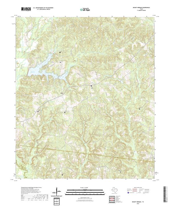
2022 Mount Herman
Shelby County, TX
2022 Neuville
Shelby County, TX
2022 Patroon North
Shelby County, TX
2022 Tenaha East
Shelby County, TX
2022 Tenaha West
Shelby County, TX