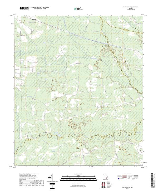
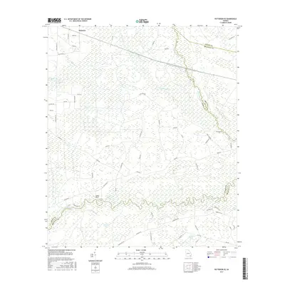
2024 Map of Patterson SE
USGS Topo · Published 2024About this map
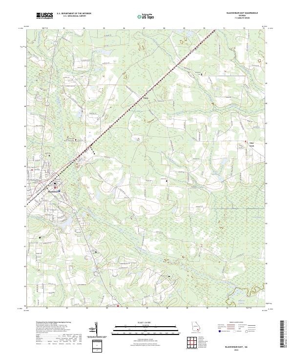
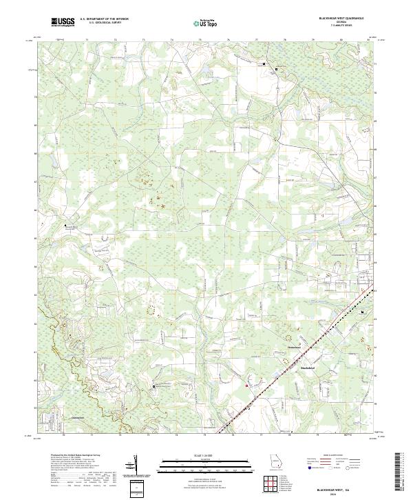
Patterson sits at the northern edge of a landscape defined by complex hydrological systems where the Little Satilla River and Satilla River meander through dense wetlands. This survey documents the transitional territory between Pierce, Brantley, and Wayne counties, showing a network of rural roads such as Cross Swamp Rd and Trudie Rd that navigate between named bogs like Mud Swamp and Raulerson Swamp. The geography is characterized by numerous small watercourses, including Sixty Foot Branch and Griffin Branch, which feed into the larger river basins.
Find a feature on this map
58 named features on this map. Tap any name to fly to it.
Don’t see what you’re looking for? This feature index may not catch every label — zoom into the map to look around manually.
Map Details
Editions of this 2024 Patterson SE Map
This is the sole edition of this map. No revisions or reprints were ever made.
Historical Maps of Patterson Through Time
18 maps found
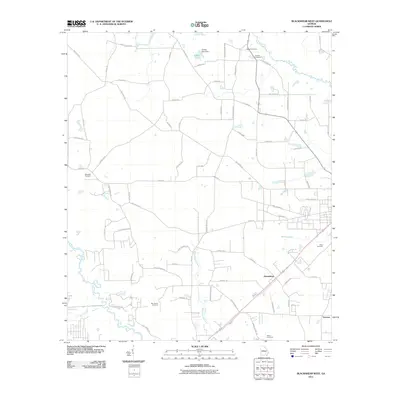
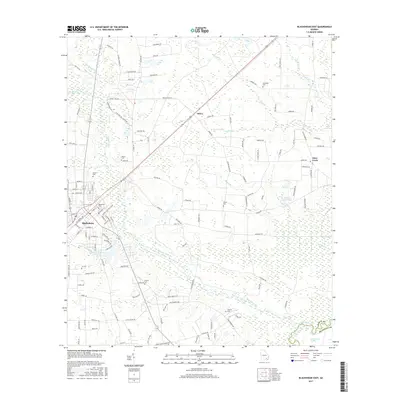
1971 Blackshear East
Pierce County, GA
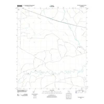
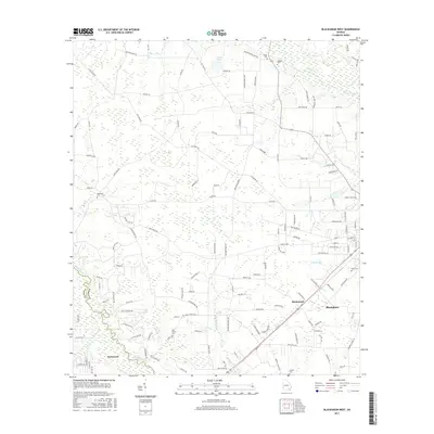
1971 Blackshear West
Pierce County, GA

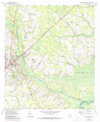
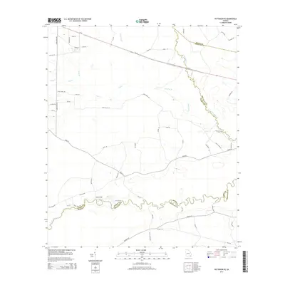
1971 Patterson SE
Pierce County, GA
2011 Blackshear East
Pierce County, GA
2011 Blackshear West
Pierce County, GA
2011 Patterson SE
Pierce County, GA
2014 Blackshear East
Pierce County, GA
2014 Blackshear West
Pierce County, GA
2014 Patterson SE
Pierce County, GA
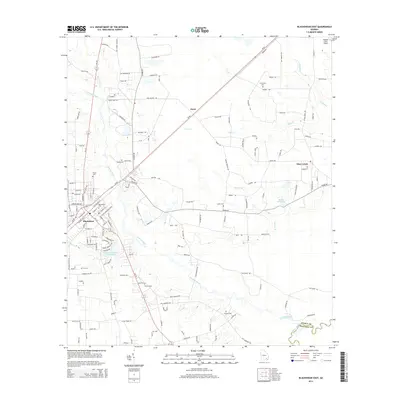
2017 Blackshear East
Pierce County, GA
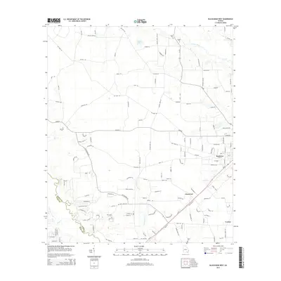
2017 Blackshear West
Pierce County, GA
2017 Patterson SE
Pierce County, GA
2020 Blackshear East
Pierce County, GA
2020 Blackshear West
Pierce County, GA
2020 Patterson SE
Pierce County, GA
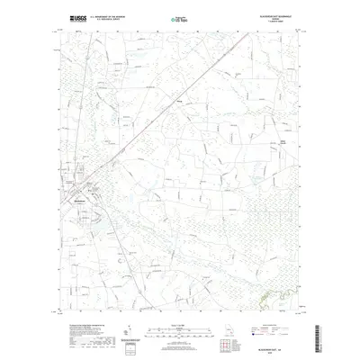
2024 Blackshear East
Pierce County, GA
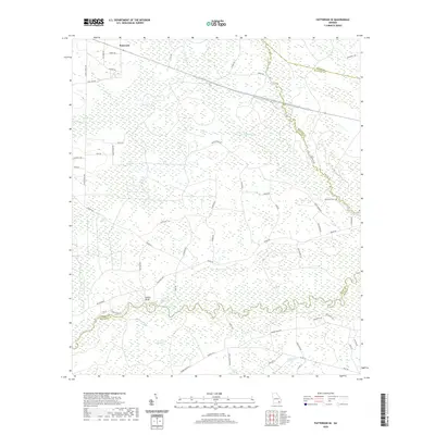
2024 Blackshear West
Pierce County, GA
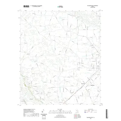
2024 Patterson SE
Pierce County, GA