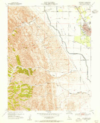
1953 Map of Patterson
USGS Topo · Published 1955About this map
Patterson stands at the transition from the irrigated orchards and fields of the Central Valley to the arid eastern slopes of the Coast Ranges. In the early 1950s, the town's planned circular street grid is clearly visible, centered on the P O and City Hall, while its agricultural character is anchored by the Farm Labor Center and a series of radiating avenues like Eucalyptus Ave and Walnut Ave. The engineering of the valley's water system is represented by the massive Delta-Mendota Canal and the Vanormer Pumping Station, which run parallel to the Southern Pacific tracks.
Find a feature on this map
36 named features on this map. Tap any name to fly to it.
Don’t see what you’re looking for? This feature index may not catch every label — zoom into the map to look around manually.
Map Details
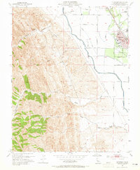
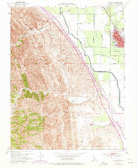
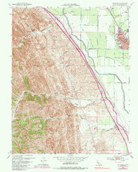
Editions of this 1953 Patterson Map
4 editions found
Other maps of this area

1913 · Romain
USGS Topo · 1:31,680

1915 · Westport
USGS Topo · 1:31,680

1915 · Westley
USGS Topo · 1:31,680

1916 · Crows Landing
USGS Topo · 1:31,680

1916 · Patterson
USGS Topo · 1:31,680

1916 · Romain
USGS Topo · 1:31,680

1917 · Newman
USGS Topo · 1:31,680

1919 · Orestimba
USGS Topo · 1:62,500

1919 · Orestimba Creek
USGS Topo · 1:31,680

1922 · Carbona
USGS Topo · 1:62,500